

Climate Change: New York City sea levels could rise by up to 6 feet by end of century

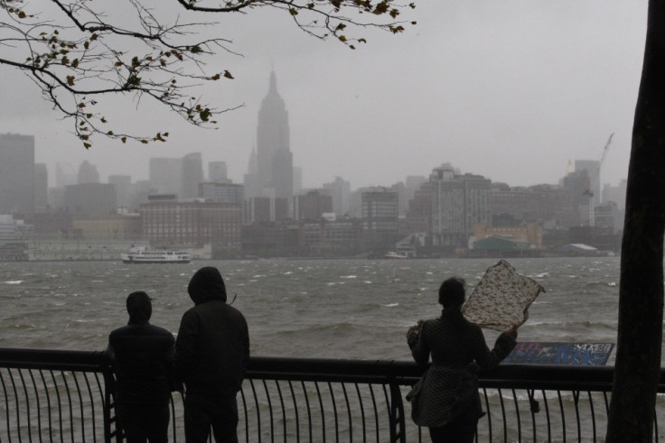
New York City will see more heatwaves and heavier rain which could make the sea level around the US's most populous city rise by up to six feet, a report has revealed.
The 2015 New York City Climate Change Report shows that the mean annual precipitation in the city will increase by 5-13% by the 2080s, building on the eight inches it increased by from 1900 to 2013.
This, coupled with the news that the average annual temperature will rise by 8.8 degrees Fahrenheit by the same time, could see sea levels rise by up to 75 inches, the study backed by Nasa claims.
It is an extreme acceleration from the previous century where sea levels rose by 1.1 feet since 1900 as greenhouse gases continue to build up and melt the ice caps, largely thanks to human activity.
By 2100, almost a fifth of the city, which has a land mass of 469 sq miles, would have a 1% chance of flooding in any year.
Queens will be the area that will be most affected by the rising water, followed by Brooklyn and Staten Island.

Cynthia Rosenzweig of Nasa's Goddard Institute for Space Studies (GISS), New York, co-chairs the New York City panel, said: "This collaboration will help ensure that climate science developed for the New York metropolitan region informs and draws from the best available information, positioning residents and planners to confront expected future changes in the most effective way possible.
"Climate change research isn't just something for the future. It's affecting how key policy decisions are being made now."
© Copyright IBTimes 2024. All rights reserved.


