Stunning Images of Earth Captured By GeoEye-1 Satellite [PHOTOS]
Just a few days before Earth Day 2012, an image of broken-up ice fields off the west coast of the Antarctic Peninsula was put under "featured satellite images" on the web site of Virginia-based satellite imagery company GeoEye.
According to GeoEye, it tasked GeoEye-1 satellite, one of its two high-resolution color Earth-imaging satellites launched in 2008, to collect the image of Antarctic Peninsula on April 18, 2012 while flying 423 miles (681 km) above the Earth at an average speed of 17,000 mph (four miles per second).
The image perhaps portrays the results of various scientific reports, which suggest that the Antarctic Peninsula is one of the fastest warming regions on earth.
"Antarctica is perhaps the world's greatest unspoiled and relatively unexplored wildernesses. About 98 percent of Antarctica is covered by ice that averages at least 1 mile (1.6 km) in thickness. According to news reports the Antarctic Peninsula is one of the fastest warming spots on the planet," the image description reads.
GeoEye-1 collects several other images of earth to help scientists, archaeologists, students and organizations working on climate change issues, disaster management and so on.
"Students have used our imagery for archeology, land cover assessment, climate change, forestry, geospatial intelligence and many other studies. Non-governmental organizations have used our imagery for humanitarian relief and disaster response," a statement on GeoEye's web site reads.
In fact, earth observatories have had crucial roles in the past during natural calamities. Satellite images from NASA's earth observation satellites have helped forecast weather conditions, storms, hurricanes or a volcanic eruption enabling evacuation or other prompt actions in time.
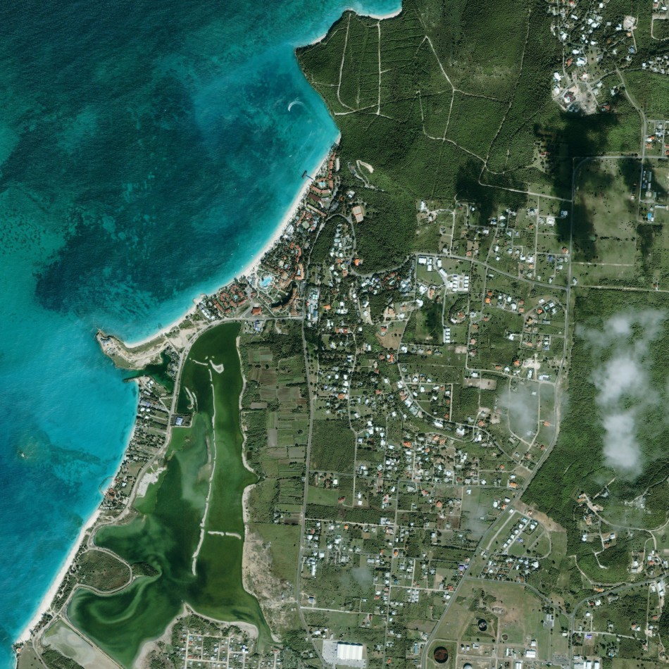
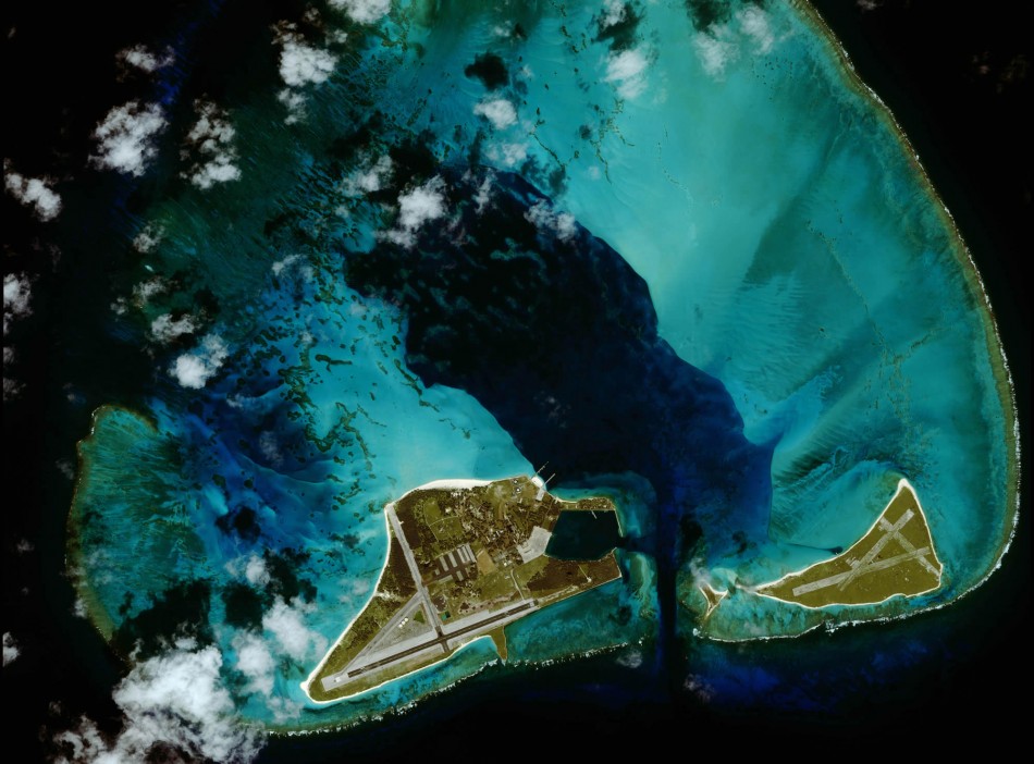
From a beach holiday destination in the Caribbean, Niagara Falls in Canada to a volcanic island in Indonesia, here are some of the most stunning snapshots of earth taken by GeoEye-1 satellite from several miles above.


© Copyright IBTimes 2024. All rights reserved.


