

Nepal earthquake: Sedimentary basin on which Kathmandu sits 'amplified ground motion'
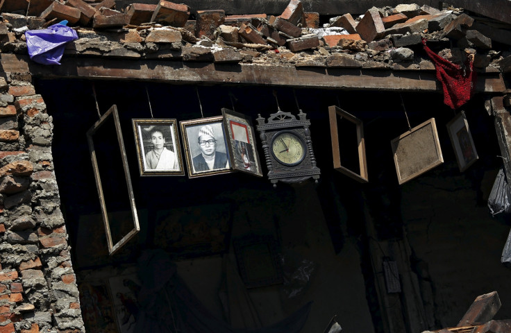
The shallow depth of the quake and the nature of Kathmandu valley have contributed to the high losses in the capital of Nepal, with the overall toll crossing 4,000.
With fewer layers of rock and soil to absorb the shock waves, the shallow quake with a 10-mile depth caused maximum damage.
Contributing to this is the fact that Kathmandu lies in a basin filled with about 2,000 feet of sediments from a former lake.
During an earthquake, such sedimentary basins tend to amplify the ground motion and thereby increase the destruction, says a Berkeley release. This was why Kathmandu which is at a distance of almost 200kms from the epicentre of the quake crumbled under its impact.
This was also witnessed in the massive destruction in Mexico City during the 1985 earthquake that claimed up to 35,000 lives.
Most deaths were in Mexico City, where 412 multi-storey buildings collapsed completely and another 3,124 were severely damaged, including 13 hospitals.
The surprise was that the city was almost 250kms away from the epicentre off the Mexican coast and yet bore the brunt of the quake.
This was because, just like Kathmandu, Mexico City was an artificial island built on a shallow lake by the Aztecs back in 1325.
Although the old capital was flooded again and again, the Spanish did not abandon the site but enlarged it instead. After Mexico's independence it became the capital of the newly-founded country.
Subsequently, the lake was completely drained, to make room for the housing needs of the ever-growing population of Mexico City.
Unlike hard rock that simply shakes with the same frequency and amplitude as seismic waves, the sediments of a lake bed can amplify the shaking and even worse, they can lose their consistency and become a liquid.
Such site amplification and liquefaction occurred under the 1985 quake and poorly founded multi-storey buildings lost their footing and collapsed.
Indian and Eurasian plates
The main cause of Saturday's (25 April) earthquake is the heads-on collision of two plates with the Indian plate slipping into the Earth's mantle under the Eurasian plate.
In the last 125 years, this eastern section of the Himalayan region has seen at least three quakes of magnitude 8 or greater. In 1897 and in 1950 the Indian state of Assam and neighbouring Tibet were shaken by quakes with magnitudes of 8.1 and 8.6, respectively. The total death toll in both the quakes exceeded 5,000.
In 1934 Nepal and the neighbouring Indian state of Bihar suffered heavy damage when an 8.2 quake struck. Almost 20,000 people perished in this quake, most of them in Nepal.
The latest quake is the strongest in the world so far this year. With a magnitude of 7.8 it was felt far away over 1,000kms in the Indian capital Delhi and to the east in Dhaka, the capital of Bangladesh.
The large quake triggered a major avalanche on the southern slopes of Mount Everest which devastated the base camp. It has also led to numerous landslides blocking access to many remote villages of Nepal.
© Copyright IBTimes 2024. All rights reserved.
-

Football Clubs With The Most Arrests And Bans in 2022-23
-

Oil Prices Slip As Investors Eye Israel's Response To Iran Strike
-

Billionaire Declared Missing And Dead In 2018 Is 'Possibly Living In Moscow With Mistress'
-

Wendy's Sued For $20M After 11-Year-Old Gets Brain and Kidney Damage From 'Dirty Meal'


