

Powerful medieval earthquakes created the foundation of modern day Nepal town of Pokhara

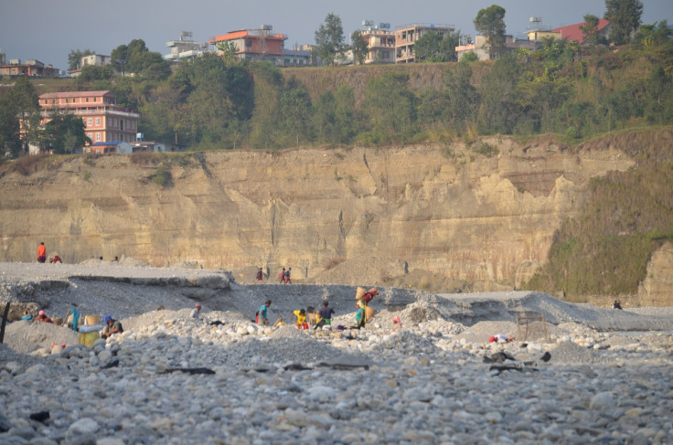
Nepal's second largest town of Pokhara has been built on the debris of three thunderous earthquakes from up to 915 years ago, say researchers. The earthquakes would have registered eight on the Richter scale, and caused landslides of debris from 60 kilometres away.
Researchers have discovered the exact date of each of the earthquakes through carbon dating. Tremors in 1100, 1255 and 1344 all cumulatively caused a build-up of gravel and rocks at the foot of the Annapurna conservation area mountain range.
The study, published in Science, will help researchers assess the amount of landslide material associated with strong earthquakes. In turn, that can be used to help defend vulnerable areas of the world, including the Himalaya's.
The researchers also discovered that a large boulder sitting on top of the gravel sediments, had only been there since 1681, nearly 340 years after the last major earthquake. "The boulder has a diameter of almost ten meters and weighs around 300 tons," said Christoff Andermann, researcher of geosciences in Potsdam.
Using cosmogenic radiation surface dating techniques at Helmholtz-Zentrum Dresden-Rossendorf, Germany, the scientists found the date the boulder was deposited on top of the earthquake debris was 1681. This date matched another date for a large earthquake which hit Nepal, but the scientists are not sure whether the earthquake caused the boulder to fall from the mountainside, or if it was just shaken loose from the earlier debris.
Nepal frequently experiences major earthquakes, and on average an earthquake with a magnitude of at least eight on the Richter scale hits the country every 80 years. The most recent major earthquake occurred in April 2015, with a magnitude of 8.1.
Pokhara is Nepal's second largest town. It has a population of just over 260,000 - similar to the size of UK city, Plymouth.
© Copyright IBTimes 2024. All rights reserved.


