

We're about to find out what's lurking beneath Yellowstone supervolcano
Electromagnetic and magnetic survey to reveal Yellowstone's hydrothermal systems.

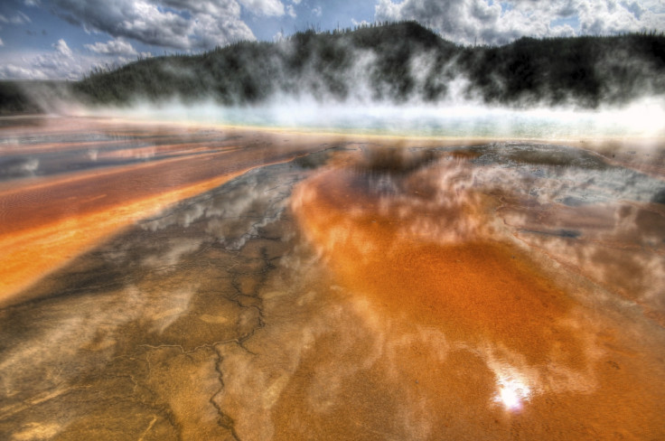
The ground beneath Yellowstone supervolcano is set to be mapped by scientists. The survey will offer an "unprecedented" view of Earth's crust under Yellowstone National Park, providing an insight into the vast hydrothermal systems operating below the surface.
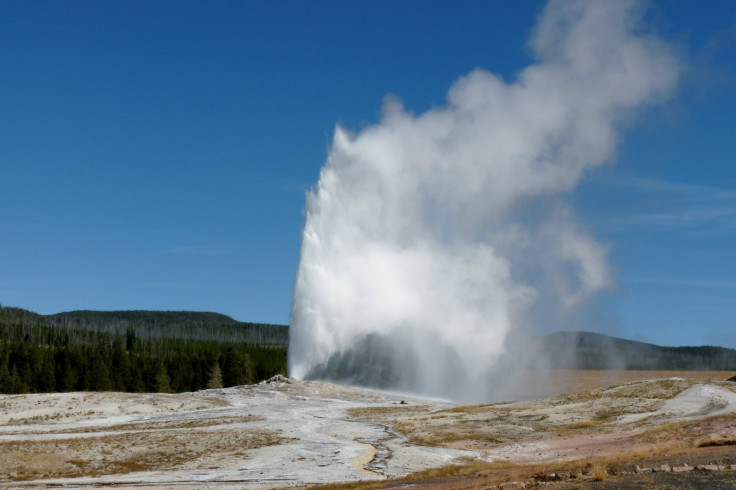
Researchers from the US and Denmark are currently undertaking a project to carry out electromagnetic and magnetic surveys of the hidden landscape. While the hydrothermal systems on the surface – such as its geysers and hot springs – are well mapped, what happens in the subsurface is essentially a mystery.
Mapping began on 7 November, with a helicopter flying around 200ft from the ground. Suspended from its base is an electromagnetic system that records extremely small voltages relating to the electrical conductivity of the ground beneath the surface.
The team, from the USGS, University of Wyoming and Denmark's Aarhus University, will use this information to distinguish between areas of cold fresh water, hot saline water, steam, clay and rock. By doing so, they will be able to create a picture of Yellowstone's hydrothermal systems. They will be able to find signatures of the systems down to depths of over 1,000ft.
"These observations, combined with existing geophysical, geochemical, geological and borehole data, will help close a major knowledge gap between the surface hydrothermal systems and the deeper magmatic system," USGS said in a statement.
Read more:
What Will Happen if Yellowstone Supervolcano Erupts?
Super-eruptions bigger than Yellowstone volcano discovered at Snake River Plain
When will Yellowstone supervolcano erupt again? Scientists might have worked it out
"For example, research shows that the hot water spurting from Yellowstone's geysers originates as old precipitation, snow and rain that percolates down into the crust, is heated and ultimately returns to the surface. This process takes hundreds if not thousands of years. Little, however, is currently known about the paths taken by the waters."
Flights are scheduled to be carried out for between two and four weeks. Once the data has been returned, scientists will be able to use to carry out ground-based geological studies of the area.
© Copyright IBTimes 2024. All rights reserved.
-

Billionaire Declared Missing And Dead In 2018 Is 'Possibly Living In Moscow With Mistress'
-

Wendy's Sued For $20M After 11-Year-Old Gets Brain and Kidney Damage From 'Dirty Meal'
-

EU Sanctions Policy Is Attracting Growing Controversy
-

Russian Blogger Starved Son To Death By Only 'Feeding Him Sunlight' Instead Of Food


