

Accurate global forest cover maps published using citizen scientists and multiple data sources
New maps of global forest cover from the International Institute for Applied System Analysis (IIASA) combine citizen science with multiple data sources to provide an accurate idea of location and extent of forestland.
The location and extent of forests is vital information for ecology, climate change, and economic modeling.
The new maps follow yet another citizen offering published earlier in the year of global cropland and land cover maps from the Geo-Wiki team and network.
"The new maps rely on a combination of recent multisensory remote sensing data, statistics, and crowdsourcing," says Dmitry Schepaschenko, the lead author of the study. "By combining different data sources, and incorporating the input of trained citizen scientists, we were able to produce new maps that are more accurate than any existing data source."
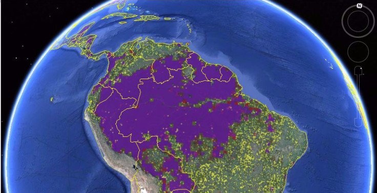
The two global forest maps, both at 1-km resolution, go to provide a detailed and global coverage.
The "best-guess" map uses eight different data sources and relied on citizen scientists to validate the classification of land cover, by looking at high-resolution satellite imagery of different locations.
The second map was further calibrated using regional and country-level forest statistics from the Food and Agriculture Organization making it more useful for economic modeling.
A comparison of the two maps can highlight the discrepancies in reported data. It is expected to be useful for policymakers who rely on varying forest maps for planning purposes.
IIASA researcher and study co-author Linda See adds, "Geo-Wiki and our network of volunteers continue to help us improve land cover and develop robust products for the modelling and policy communities."
The maps were published in the journal Remote Sensing of the Environment, and are freely available for exploration and download on the Geo-Wiki Web site.
© Copyright IBTimes 2025. All rights reserved.
- MOST READ


