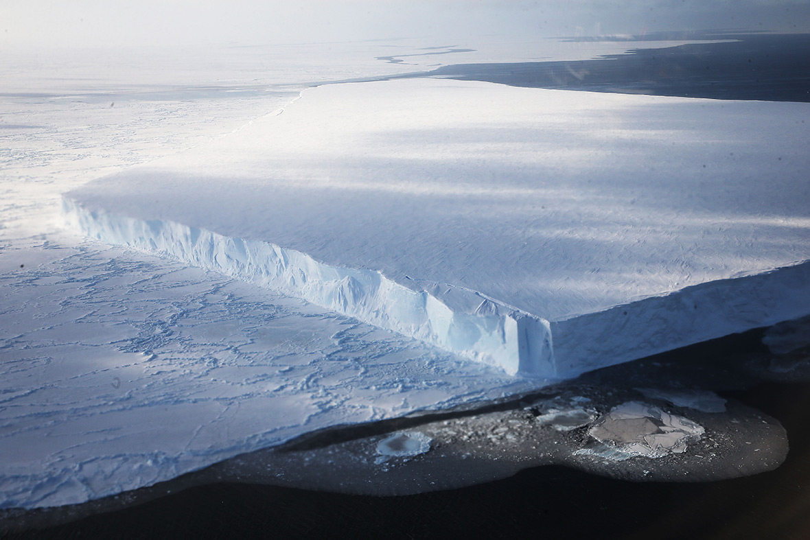
Aerial photos of Antarctica offer a rarely-seen view of the frozen continent
Operation IceBridge airborne laboratory allows scientists to study the effects of climate change on sea ice, glaciers, and ice sheets.
These amazing aerial photos of Antarctica offer a rarely-seen view of the frozen continent. They were taken during a Nasa survey of polar ice. Now in its eighth year, the space agency's Operation IceBridge airborne laboratory allows scientists to study the effects of climate change on sea ice, glaciers, and ice sheets.


Getty Images photojournalist Mario Tama joined the scientists on a DC-8 research plane during a 12-hour return trip from southern Chile to West Antarctica. He told IBTimes UK: "Nasa's IceBridge team were incredibly kind to allow me onboard with them. I was concerned my presence would annoy or disturb their work, so I did my best to stay out of their way and only shoot through the few windows that were without distortion."


Operation IceBridge flights are conducted over Antarctica every October-November and over Greenland in March-May, giving an unprecedented three-dimensional view of Arctic and Antarctic ice sheets, ice shelves and sea ice. IceBridge's research aircraft are fitted with sophisticated scientific instruments and precise imaging equipment, allowing Nasa to better understand the processes that connect the polar regions with the global climate system.


Over the course of the mission, IceBridge has gathered data on the thickness and shape of snow and ice, as well as the topography of the land and ocean floor beneath the ocean and ice. These surveys have allowed scientists to determine that the West Antarctic ice sheet may be in irreversible decline. Its glaciers have lost hundreds of metres of solid ice as the influx of warm ocean water beneath ice shelves led to widespread melting.


Tama told IBTimes UK: "It was an incredible privilege to watch these folks in action and document scenes of West Antarctica that have that may never have been recorded by a photojournalist before." For more information about Operation IceBridge, visit: www.nasa.gov/icebridge.
© Copyright IBTimes 2024. All rights reserved.


