Hurricane Sandy: Nasa Captures Frankenstorm from Space [PHOTOS]
Hurricane Sandy could bring a "life-threatening storm surge" with high-speed winds, rain and snowfall up to 3 feet in depth, according to America's National Hurricane Center.
Sandy, which has been declared a Category 1 hurricane, denoting severe strength, is expected to make landfall on America's east coast within hours.
The impact zone will encompass the key cities of Boston, New York and Washington DC, and the storm is also likely to afflict large tracts of Delaware, Virginia, North Carolina and New Jersey.
The National Oceanic and Atmospheric Administration (NOAA) has dubbed Sandy as the largest storm ever to hit the United States. One meteorologist has dubbed it 'Frankenstorm', in the belief that it will conflate with a wintry storm from America's north-east to pose an even bigger threat.
The NHC has forecast rainfall of up to 12 inches, with snowfall of between 2 and 3 feet in the mountains of West Virginia, Western Maryland and North Carolina.
Meanwhile researchers at United States Geological Survey (USGS) have warned that the storm could erode many Atlantic beaches, bringing a dramatic change in the coastlines of Delaware, Maryland, Virginia and Long Island, NY.
"Nearly three quarters of the coast along the Delmarva Peninsula is very likely to experience beach and dune erosion as Hurricane Sandy makes landfall, while overwash is expected along nearly half of the shoreline," the USGS said in a statement.
A state of emergency has already been put in place in New York, while other cities have shut down key functions including schools, offices and public transport.
Tens of millions of east coast residents were reportedly evacuated over the weekend to brace for the arrival of Sandy, which has already killed 66 people in the Caribbean.
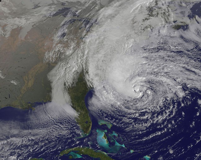
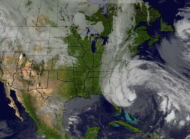
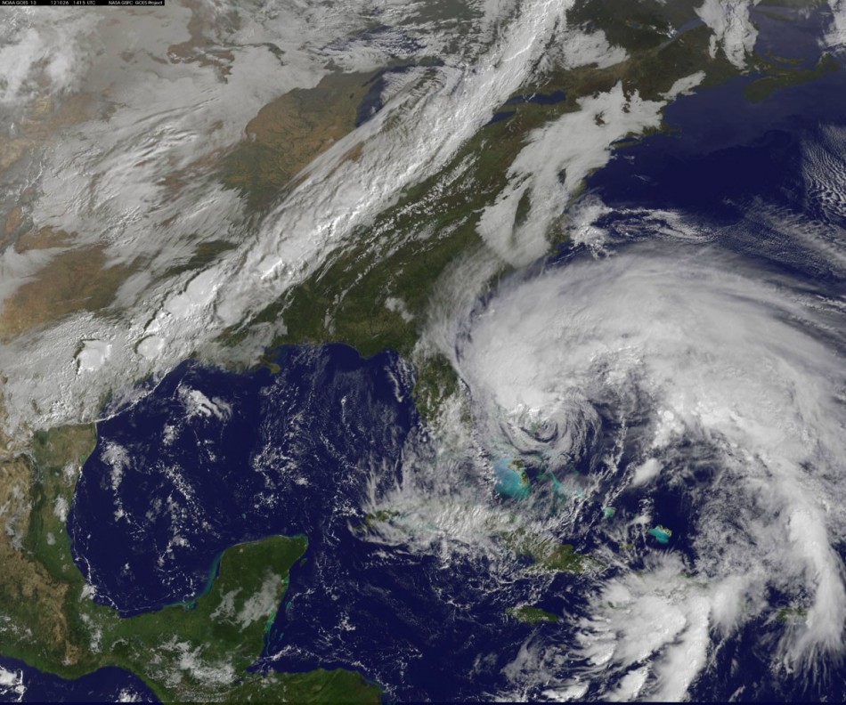
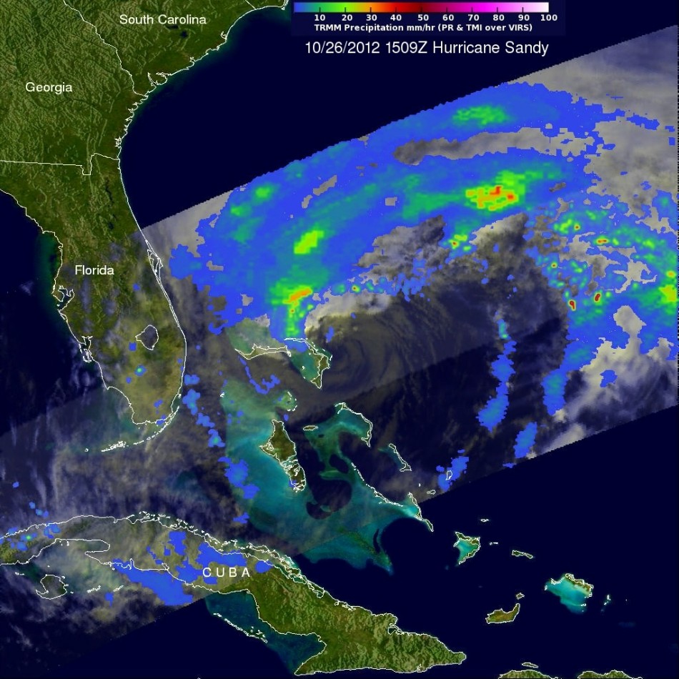
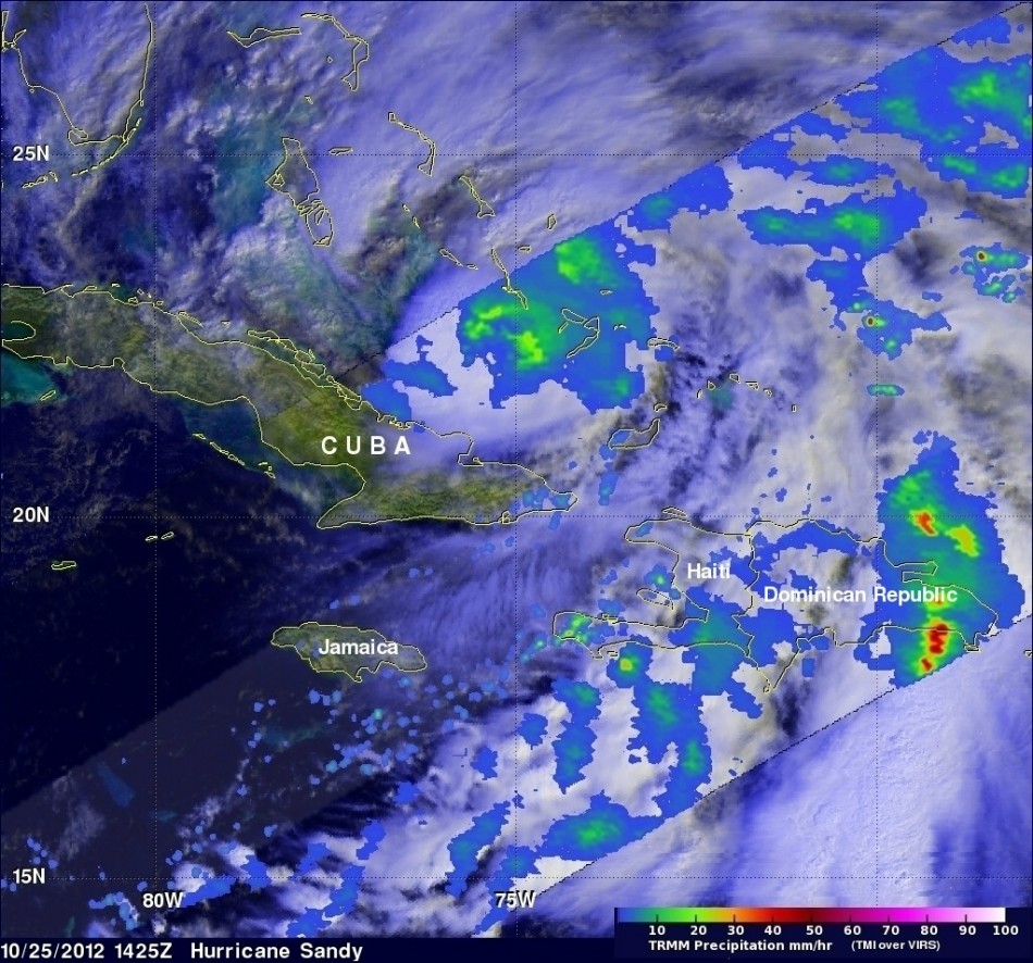
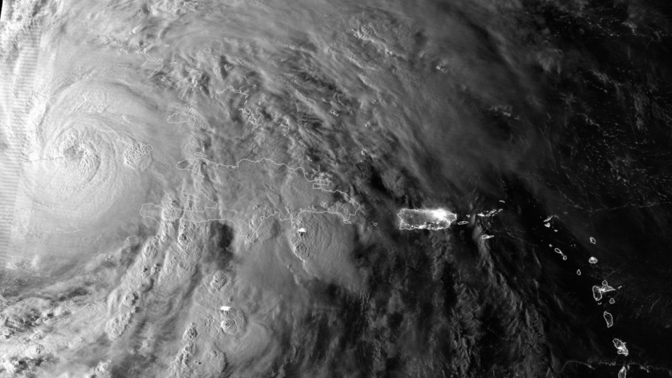
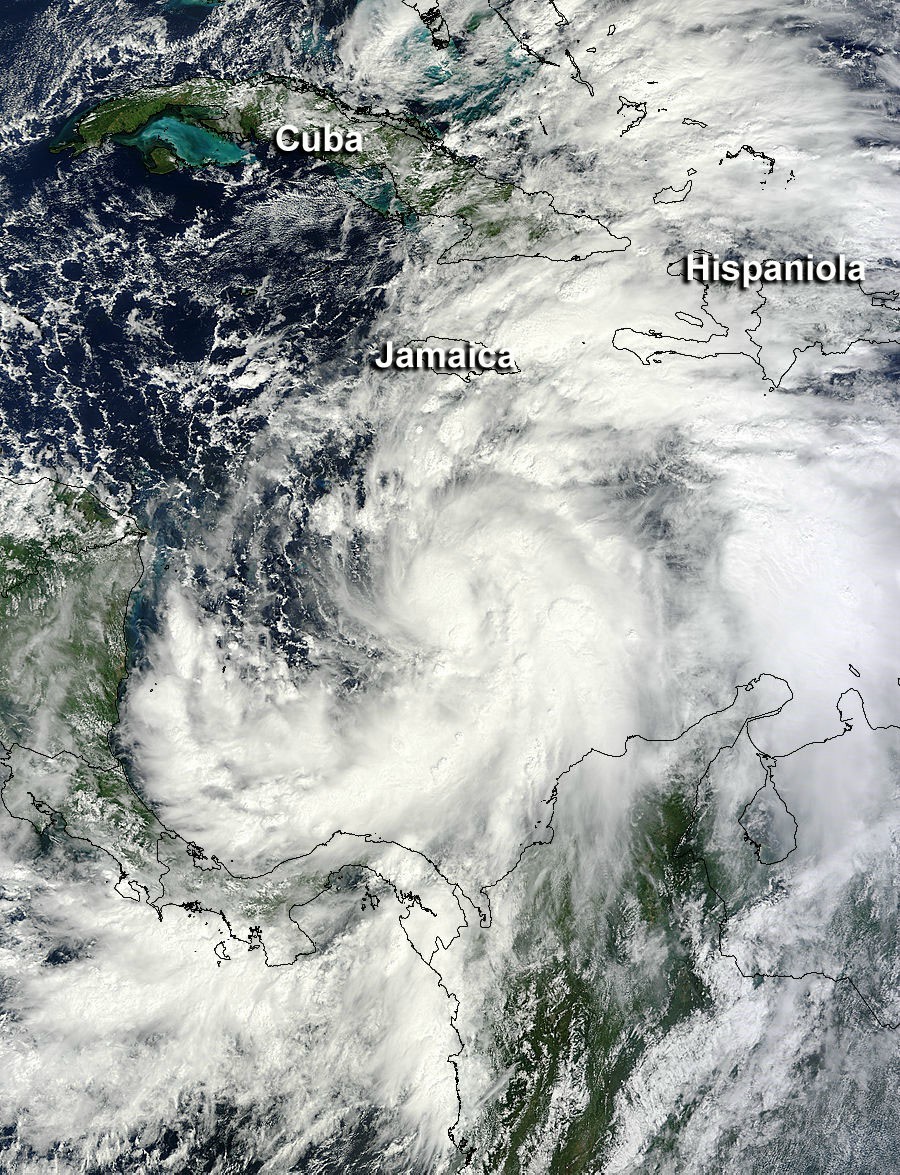
As Hurricane Sandy makes landfall on Monday night or Tuesday morning across the US East Coast, Nasa satellites have captured the intensifying storm from space. Check out the pictures below.

© Copyright IBTimes 2025. All rights reserved.


