

Unmanned Aircraft Protect Archaeological Sites in Peru [PHOTOS]

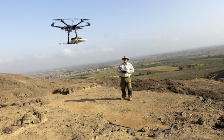
Archaeologists in Peru are using Unmanned Aerial Vehicles (UAV), or drones, to map and protect the ruins of Inca and over 13,000 ancient sites across the South American country.
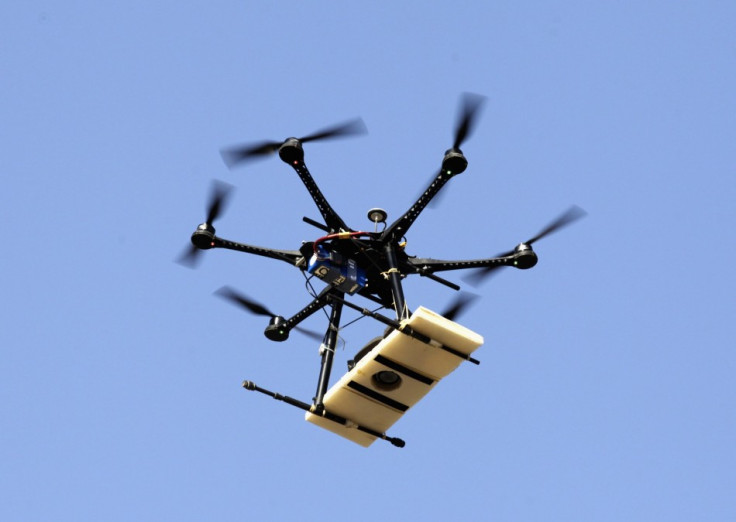
Originally designed for military warfare, they have been deployed to attack alleged terrorist targets. The drones are now increasingly being used for archaeological purposes because of their affordability.
In Peru, famous for the 15th-century Inca City of Machu Picchu, the drones are helping to speed up survey works required to preserve the archaeological heritage.
The country's infrastructure and building works programme is increasing as the economy rises by about 6.5% a year, with the risk of losing the ancient treasures.
"We see them as a vital tool for conservation," Ana Maria Hoyle, an archaeologist with Peru's culture ministry, was quoted as saying in a Reuters report.
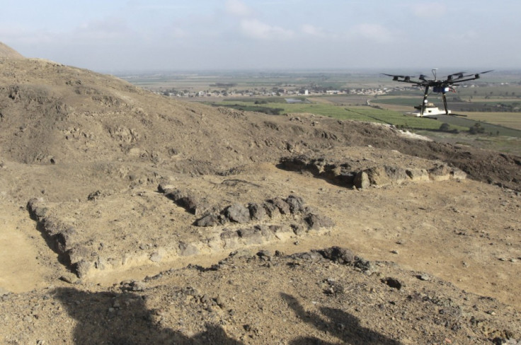
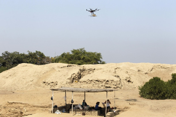
Drones help archaeologists map and demarcate the sites by producing three-dimensional models and thereby prevent those sites from illegal construction or destruction. The small aircrafts complete ther job in a matter of days or weeks. The traditional maps would otherwise take months and years to produce.
"With this technology, I was able to do in a few days what had taken me years to do," Luis Jaime Castillo, an archaeologist at Lima's Catholic University, Peru, added.
It is reported that a 5,000-year-old pyramid at the archaeological site of El Paraiso near the Peruvian capital Lima was torn down in July during the construction of a building. Reports of damage to other ancient structures through modern construction have also been cited.
According to the culture ministry, 2,500 archaeological sites have been surveyed so far.
The drones patrolling Peru's skies help them keep an eye over protected sites, observe threats and repair any damage done.
© Copyright IBTimes 2025. All rights reserved.
- MOST READ


