

A chill in Siberia is a bad sign for the US winter ahead
Siberian snow could has knock-on effects on the weather in the US.


Heavy snowfall in Siberia in October means the US is in for a harsher winter in the north-east than government forecasts are predicting, says Judah Cohen, a climatologist at Atmospheric and Environmental Research, a Verisk Analytics business.
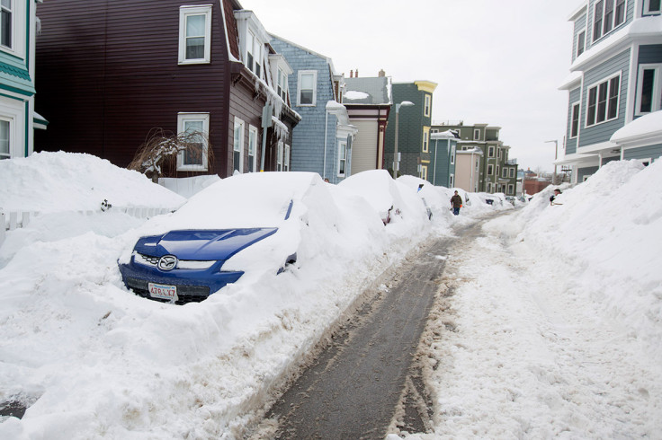
This winter is due to be a harsh one in the north of the country, he says, going against the National Oceanic and Atmospheric Administration's recent forecast. The NOAA's Climate Prediction Center says that the natural cooling of the oceans around the US, known as La Niña, will bring a warm, dry winter to the south and even chances of a cold or mild winter in the north.
Cohen, however, argues that AER's forecast is more accurate because it accounts for the effects of snowfall in Siberia, a vast stretch eastern Russia that is larger than the US as a whole.
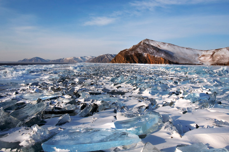
Siberian chills
Heavy snowfall in Siberia means that there's more bright white snow to reflect heat from the sun back into space. This lowers air temperatures in Siberia, but it also means lower temperatures elsewhere, Cohen says.
The cold Siberian air is in stark contrast to the air over the warmer seas – an effect that's exaggerated if there's also little sea ice. It's this temperature difference that can have effects on weather systems far beyond Siberia.
The steep temperature difference can disrupt a weather system in the Arctic region, called the polar vortex. Air in the polar vortex ordinarily travels in tight concentric circles over the pole, Cohen told IBTimes UK.
But a strong temperature gradient between Siberia and the surrounding sea can disrupt the polar vortex. "It starts to wobble and then it becomes susceptible to more and more energy. It becomes highly distorted and disrupted and can split into two pieces in the most extreme cases."
When this happens, the cold air that was confined to the Arctic in the tight circles of the polar vortex can spill down into lower latitudes. That's when you get a particularly cold winter, especially in the east of the US, Cohen says.
Slow to catch on
Cohen says that AER's forecast for the winter is 30-40% more accurate than that used by the Climate Prediction Center. "The CPC isn't any better than using the average of the last 30 years," he says. "We've looked at how the model affects the eastern US in particular. In about three out of four winters [AER's method] has been a pretty consistent measurement."
Despite this, agencies such as the CPC in the US, and forecast centres elsewhere such as the Met Office in the UK, have not used Siberian snow cover as a factor in their seasonal forecasting. "I think [these agencies] are very conservative and very slow to make changes," Cohen says.
Considering Siberian snow and the role of the Arctic region more generally on global weather patterns is still a controversial idea in climatology, Cohen says. "In the field as a whole, it's much more accepted that the tropics are driving our weather here in the higher latitudes."
Since publishing AER's seasonal forecast earlier in October, the polar vortex has already broken down. This is happening far sooner than expected, Cohen says. "The fact that it takes place in late October or early November won't impact the whole winter," he says. "It's broken down already and that's very early. I do expect there to be more breakdowns in the polar vortex reoccurring later in the winter."
© Copyright IBTimes 2025. All rights reserved.
- MOST READ


