

Nepal: Quake's location indicates the Earth is probably settling down
The 7.3 magnitude earthquake that rattled Nepal and some parts of India on Tuesday was an "aftershock" of the massive one (measuring 7.9) that occurred on April 25, and its epicenter suggests that the fault is settling down, according to an Indian scientist.
The duration of aftershocks can exceed six months, depending on the magnitude of the main event, as seen across the world, says RK Chadha, chief scientist at India's National Geophysical Research Institute (NGRI).
"By definition, the aftershocks are the ones which occur on the same fault within 2-3 months after the occurrence of a main shock and have smaller magnitudes than the main shock. Higher the magnitude of the main shock, higher the aftershock magnitude," he told IBTimes UK.
Aftershocks are the same exact phenomenon as the actual earthquake. They simply happen afterwards. Foreshocks are very light and often can't be measured but aftershocks can register a magnitude just as high as the main shock, say experts.
The behavior of the aftershock pattern usually indicates what is happening, said Chadha.
"If all aftershocks are occurring within the vicinity of the initial rupture of the main shock, then it is only releasing the unspent energy to attain equilibrium, but if the aftershocks show a migration, then it indicates that the fault is getting larger and could indicate longer duration of aftershocks which can also lead to triggering of shocks on other fault system in the region."
In this case, the main shock which occurred on 25 April 25 had a magnitude of 7.9 and occurred between the two major fault systems in the Himalayas known as the Main Boundary Thrust (MBT) and the Main Central Thrust (MCT).
The largest aftershock which occurred on 12 May also occurred within these two fault systems, about 160kms east of the main shock epicentre.
According to the United States Geological Survey (USGS), most aftershocks occur on the same fault as the main shock, but other faults nearby and extensions of the main shock fault can also produce aftershocks.
"Usually aftershocks decrease exponentially after the main earthquake; however, that is not always true," Dr. Delores Robinson, associate professor of geological sciences at The University of Alabama told IBTimes UK. She has walked hundreds of kilometers in the Nepal region in her research on Himalayan mountain building and was in the region after the first quake.
Generally, a magnitude 7.9 or 8.0 has a fault length of about 200-250kms, says Chaddha stressing that existing knowledge on earthquake generation are largely drawn by inference based on experience, rather than actual observation of the events which happen at depths.
Aftershocks can continue for as long as six months, he says, adding that when the magnitude exceeds 8.5 or 9.0, then the aftershocks can last for more than a year.
The plate boundary in Nepal is one of the most seismically active regions in the world. The Indian plate movement under the Eurasian plate is at a very high velocity for continental plates.
As strain builds up between two plates, it is bound to be released at some time. In Nepal, the last major earthquake took place around 80 years ago. From a geological perspective, another quake could have certainly been predicted though not precisely.
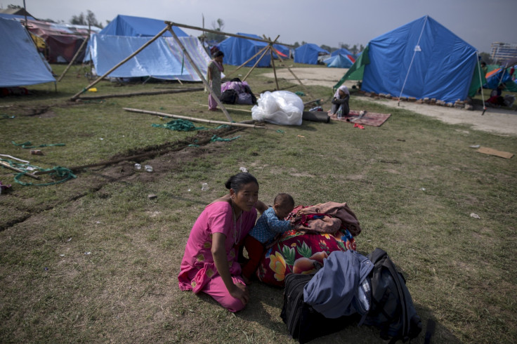
At least 48 people have been killed and more than 1,000 injured in the latest earthquake that hit near the town of Namche Bazaar in eastern Nepal.
Being deeper (18.5kms below the ground) as compared to the April 25 (15kms) quake, it caused much less damage than the latter caused. However, 31 of the country's 75 districts have been reported to be affected by the latest quake.
The entire region around the capital has faced as many as 112 aftershocks with 83 being felt during the first six days of the 25 April quake that claimed more than 8000 lives in Nepal.
Landslides and flooding fears
With the monsoon season set to begin in Nepal, fear of landslides and flooding from breaching of glacial lakes are high.
Last August, a landslide triggered by heavy rains dammed the Sun Kosi River in northern Nepal, killing roughly 150 people and causing widespread flooding.
In a report to the government last week, the International Centre for Integrated Mountain Development (ICIMOD) in Kathmandu identified six critical landslides that blocked rivers after the 25 April earthquake. Five of which are in Nepal and one in Tibet.
Geologists are racing to identify areas that could collapse and bury villages or block important roads. They have identified thousands of landslides in satellite imagery.
The most violent event occurred in the Langtang valley, a popular trekking area in the mountains north of Kathmandu which has been almost obliterated, right down to the river on the valley floor.
The country was at high risk of landslides even before the tremor because of the rugged terrain, unstable soils and heavy rains. In fact, the geologists had expected worse landslides than witnessed, puzzling them on the morphology of rocks that have held steady.
© Copyright IBTimes 2025. All rights reserved.
- MOST READ


