

US blizzard watch: Nearly 76 million people to be affected by severe winter storm along East Coast

Nearly 76 million Americans along the East Coast are preparing for a severe winter storm that has already paralysed Washington DC and interrupted air travel. The major blizzard, which is expected to burry the Mid-Atlantic states in as much as 1-2 feet of snow, is expected to begin on Friday (22 January) and end on Sunday (24 January).
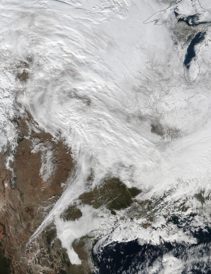
Mid-Atlantic
The National Weather Service (NWS) has placed Baltimore and the Washington DC metro area under a blizzard warning. An initial estimate of a foot of snow for the region was increased to 2 feet in both major cities. According to the blizzard warning, the western suburbs of the capital are expected to get 24 to 30 inches (2 feet to 2 1/2 feet) of snow.
"Heavy snow and blowing snow will cause dangerous conditions and will be a threat to life and property," the weather service warned. "Travel is expected to be severely limited if not impossible during the height of the storm." Wind gusts are expected to reach 50 mph, with temperatures in the mid to upper 20s (Fahrenheit).
The blizzard warning also recommends traveling with a "winter survival kit" if travel is a must. Along with snow accumulations, residents along the East Coast are warned of possible significant coastal flooding and damaging winds.
According to USA Today, Washington DC Mayor Muriel Bowser, Maryland Governor Larry Hogan and Virginia Governor Terry MCAuliffe have already declared states of emergency ahead of the historic storm. FlightAware noted that over 1,000 flights have been cancelled from the US for 22 January. Baltimore/Washington International Airport cancelled 36% of its outgoing flights and 45% of its incoming flights, the report showed.
Northeast
The Northeast region is also expected to see some snowfall, although far less than in the Mid-Atlantic. The NWS has issued a blizzard watch for the Tri-State (New Jersey, New York and Connecticut) area, as well as for Pennsylvania and Delaware. Snow accumulations of 6 to 10 inches are likely for the Tri-State area, while Pennsylvania and Delaware could see from 10 to 16 inches of snow.
In the New York area, wind gusts of up to 50mph are expected, with isolated gusts of 60mph possible near the immediate coast. Temperatures will be in the upper 20s. Meanwhile, in the Pennsylvania area, wind gusts will reach up to 40mph with temperatures in the upper 20s to lower 30s. Residents in the northeast are warned not to travel due to dangerous travel conditions and nearly whiteout conditions likely.
The NWS also warned of "widespread moderate coastal flooding" from Delaware to Boston, including the Long Island sound. Major flooding is possible in New York, New Jersey and Delaware, it said in a tweet.
NWS director Louis Uccellini told ABC News that in addition to the snow, an additional 7 million people could be affected by ice and other dangerous conditions. "You put all the ingredients together, you can get a storm like this and it's happening in real time," he said.
© Copyright IBTimes 2024. All rights reserved.
-

Doug McMillon Unloaded Walmart Trucks For $6.50/Hour In 1984, Now He's The CEO
-

How Are Female Tech Firms Fighting the Employment Crisis in the West Bank?
-

Italian PM Has British Newborn With Heart Defects Airlifted to Rome for Treatment Unavailable in UK
-

Sugar Baby Gets 9 Years In Jail For Scamming $1M From Men And Selling How-to Manuals


