

Ancient Himalayan temples reveal history of destructive earthquakes
Two earthquakes in 1555 and 1905 could be responsible for cracks and tilted structures.

Ancient temples in the Himalaya region bear traces of large, historic earthquakes. Scientists can explore the seismic past of this mountainous region by analysing the marks of destruction on the stones of the structures.
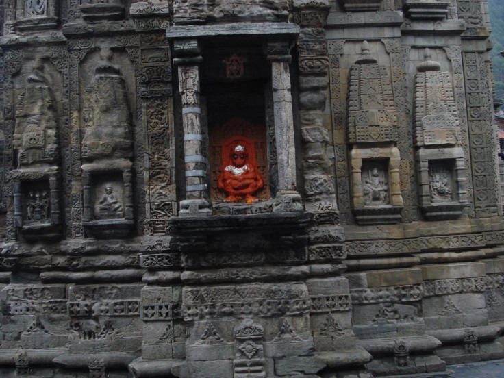
In the Indian state of Himachal Pradesh, 7th-century A.D. temples are lying within the Kashmir "seismic gap" of the Northwest Himalaya range - an area that is thought to have the potential for earthquakes with a magnitude of 7.5 or even larger. In 2005 a magnitude 7.6 earthquake in the nearby Kashmir region killed more than 85,000 people.
In a report published in the journal Seismological Research, scientists studied several temples across the region in order to identify what damages were linked to the passing of time, and what could be blamed on ancient earthquakes.
They hoped their work would help them understand how intense these natural disasters were and how they unfolded.
1555 and 1905 earthquakes
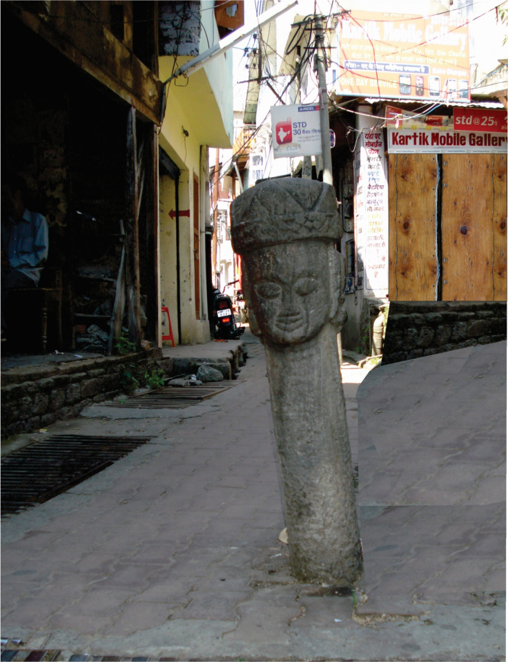
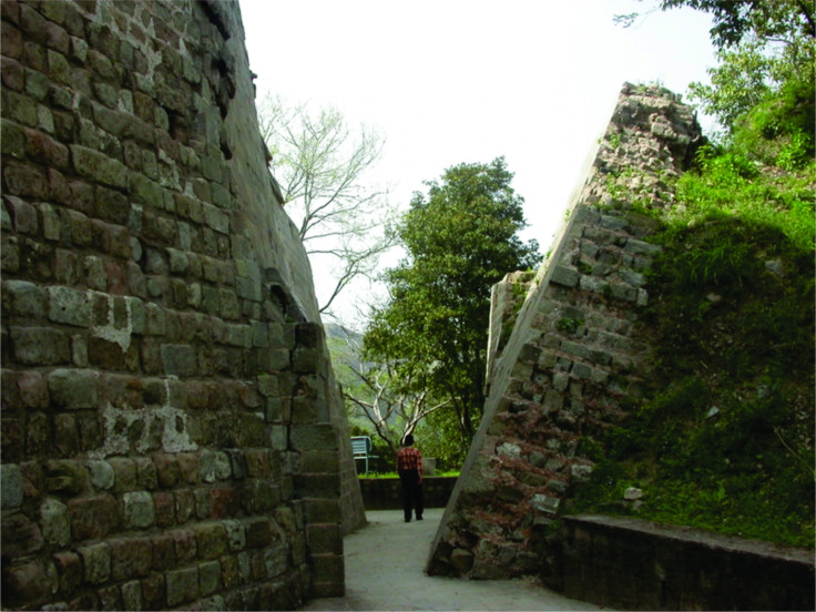
The temples examined in this research were clustered around two towns known as Chamba and Bharmour. They identified cracks and tilted pillars which appeared to have been caused by earthquakes.
It can be difficult at first to distinguish whether damages in an ancient temple are due to centuries of ageing or to earthquake deformation. However, "in the cases of ageing and ground subsidence, there is no regular pattern of damage", explains lead author Mayank Joshi.
Thus, after careful analysis, the team was able to pinpoint the damages caused by earthquakes as opposed to those due to ageing of the temples.
The researchers then measured the tilt direction, the amount of inclination of structures, and looked for cracks in building stones. They compared this data to historic accounts of earthquakes and information about area faults to determine which earthquakes were most likely to have caused the damage. In particular, they focused on historical accounts of two earthquakes: one in 1555 in Kashmir (possibly magnitude 7.6) and the other in 1905 in Kangra (magnitude 7.8).
"In the Chamba-area temples, there are some marker features that indicate that the body of the temple structure has suffered some internal deformation," says Joshi. "The pillars and temple structures are tilted with respect to their original positions. The rooftop portions show tilting or displacement."
The type of damages identified by the scientists is consistent with the idea that the temples may have been affected by the quakes. They believe the Chamba temples may have been affected by the 1555 earthquake, while the Bharmour temples were damaged by the 1905 quake.
Measuring intensity
The study of the damaged temples may also help scientists to determine whether past earthquakes were really as intense as records indicate, using a tool known as the Mercalli intensity scale.
This scale measures the consequences of an earthquake, such as its impact on buildings and other infrastructure. Scale measurements of VIII ("severe") and IX ("violent") would indicate significant damage, while higher scale measurements indicate partial to complete destruction of structures.
"The deformation features also give some clues about the intensity of an earthquake. For example if a structure experiences a higher intensity XI or X, then the structure could collapse. But if the structure is not collapsed but it tilts only, then it indicates that the structure experienced lower intensity of IX and VIII", Joshi concludes.
© Copyright IBTimes 2025. All rights reserved.
- MOST READ


