

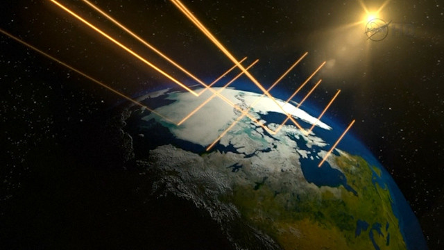
'Warm, crazy' season melts Arctic winter ice to smallest area ever recorded

The incredible shrinking Arctic ice cap is continuing to recede. The maximum annual sea ice coverage in the Arctic has now shrunk to the smallest ever recorded.
The 13 smallest wintertime ice coverage areas have all occurred in the last 13 years. Since 1979, when satellites began measuring the area of ice, the Arctic Ocean has lost a total of 1.6 million square kilometers (620,000 square miles) of winter sea ice cover — an area more than twice the size of Texas.
Satellite measurement in 2016 of the sea ice on 24 March, when coverage is at its most extensive, reached 14.52m square kilometers (5.60m square miles), the National Snow and Ice Data Center (NSIDC) and NASA reported. That compares to a 14.54m square kilometer (5.61m square mile) coverage the same time in 2015.
"I've never seen such a warm, crazy winter in the Arctic. The heat was relentless," NSIDC Director Mark Serreze told The Hill. North Pole temperatures rose above freezing on New Year's Day.
Scientists attribute the melting ice to warmer surface temperatures during the winter months, unfavorable wind patterns and warmer ocean waters — a trend that is expected to continue due to climate change.
"It is likely that we're going to keep seeing smaller wintertime maximums in the future because in addition to a warmer atmosphere, the ocean has also warmed up," said Walt Meier, a sea ice scientist at NASA's Goddard Space Flight Center. "That warmer ocean will not let the ice edge expand as far south as it used to."
Melting ice — in both the Arctic and Antarctic — invariably means higher ocean levels. Sea levels have risen an average of 3 inches (7.6cm) worldwide since 1992, and could rise by up to 3 feet (.9m) in the future.
© Copyright IBTimes 2025. All rights reserved.
- MOST READ


