

Mount Everest: Nepal to measure height of world's tallest peak
There is speculation that the height of Everest could have changed after the massive earthquake that struck Nepal in 2015.
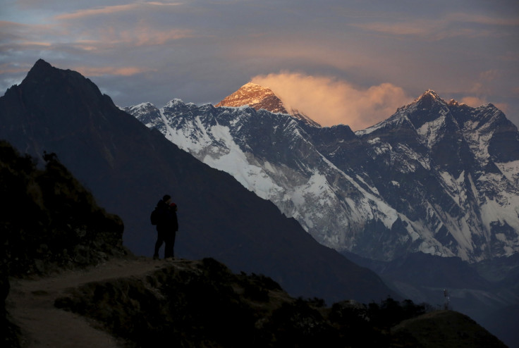
The government of Nepal is all set to ascertain the height of Mount Everest given speculations that it could have changed following the devastating earthquake that hit the country in 2015.
The Department of Survey has started measurement work, which could take nearly two years to complete. The first measurement of Everest conducted in 1856 put the height at 8,848m. The latest work would not only measure the mountain's actual height but would also throw light on the impact of climate change on the peak.
The total cost of the task is expected to touch 140m Nepali rupees ($1.35m, £1m).
"We will involve international experts, scientists and others who are experienced in high altitude measurements. We will take technical support from International Association of Geodesy, a trusted and credible organisation in measurement," Ganesh Prasad Bhatta, director general of the Survey Department, told the Kathmandu Post.
Nepalese technicians will complete the task from three locations around the mountain and dozens of Sherpas have been trained on measurement taking at high altitudes.
Earlier this week, the Survey of India had also announced its intention to measure the Everest and ascertain whether the deadly 2015 earthquake had really had an impact on the mountain's height.
The development comes after a controversy erupted regarding the mountain's popular Hillary Step – a famous rock face located near the summit.
A British mountaineer had claimed in May that the famous step had been destroyed in the aftermath of the Nepal earthquake. However, his claim was immediately refuted by Nepali climbers who said the step was "intact, except that there's lots more snow on it so the rock portion is not easily visible".
© Copyright IBTimes 2025. All rights reserved.
- MOST READ


