Earthquakes Can Shift Landmass; Study Measures Extent
Researchers from the University of California and NASA have discovered that earthquakes can bring about considerable changes in the landscape of affected regions.
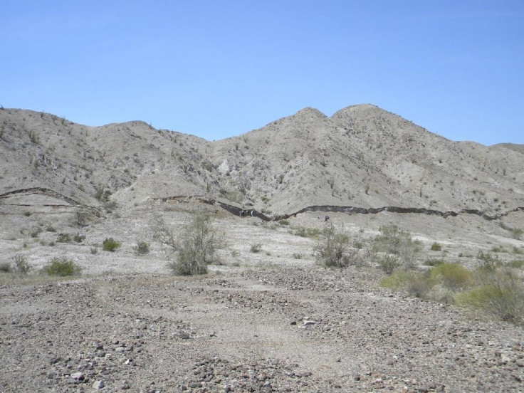
The scientists have used a new tool called Light Detection and Ranging (LiDAR) to study post-Earthquake topography. The technology allows them to scan and measure the surface of the Earth, both before and after the quake.
This allows them then to see exactly where the ground has shifted and by how much.
"We can learn so much about how earthquakes work by studying fresh fault ruptures," said Michael Oskin, a geology professor at the University of California, Davis.
"This study provides new information on how rocks in and around fault zones are deformed during earthquakes," said Eric Fielding, a geophysicist at the NASA's Jet Propulsion Laboratory.
"It helps scientists understand past events and assess the likelihood of future earthquakes in other complex systems of faults," he added.
© Copyright IBTimes 2025. All rights reserved.
- MOST POPULAR IN Science