Scientists use 3D imaging to detail shipwrecks of Lake Huron

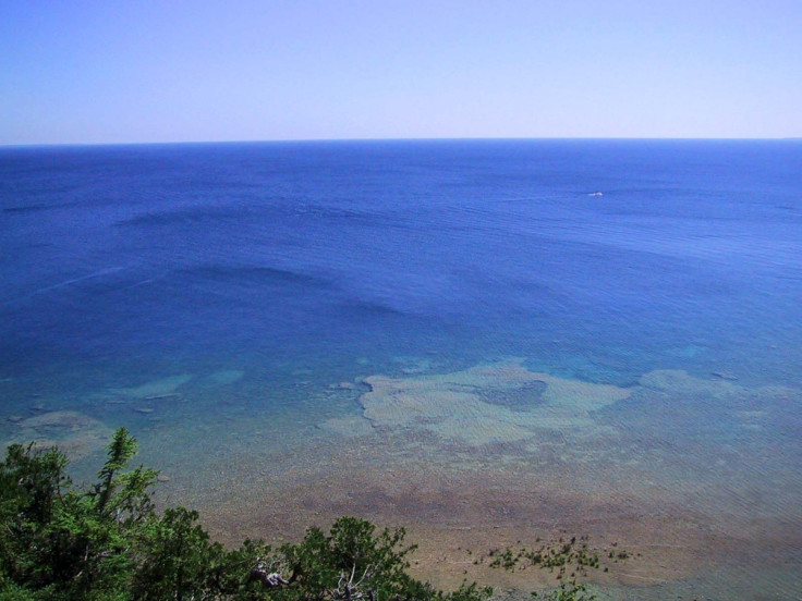
Scientists are using sophisticated 3D imaging software to create a better picture of the history of America's Lake Huron, which is allegedly home to more than 1,000 shipwrecks. Marine archaeologists are using a technique called photogrammetry to create the images of the lake, which spans over 51,700 sq miles in North America.
Using a research vessel called Storm, Joe Hoyt and his team of divers are prowling depth of up to 130ft using the software that allows them to detect the smallest of changes over time. Hoyt told Associated Press: "This is the first project we've really rolled it out on. The cool thing about this is it's photo-realistic but it's also perfect 3D, so you're seeing all sides of it. And it's perfectly scaled. It's a really amazing, accurate tool for measuring and monitoring, and the biggest benefit is the time it takes to develop is very, very small."
The team picked out their voyage to the wreck of Defiance − a 110ft schooner that sunk in 1854 and sits 200ft below the surface – as a particular highlight. They described its preservation as "amazing" with the masts still standing and cabins and deck remarkably intact. Hoyt said it was "a storybook wreck — what you'd imagine a shipwreck to look like but never is."
Russ Green, a dive-team member and the sanctuary's research coordinator and deputy superintendent, said that the detailed imagery would be beneficial for archaeological assessment, monitoring, and to give to the public a better understanding of shipwrecks. Green said: "I could certainly see a large, touch-screen, flat-screen in our exhibit, with a half-dozen shipwrecks to choose from. We've done animation and renderings, but this could allow someone to truly explore a shipwreck site.
"This technology allows average citizens to get a better understanding of maritime heritage...This is America's history. It's still there, it's preserved and it's amazing."
© Copyright IBTimes 2025. All rights reserved.
- MOST POPULAR IN Science