

A 600-mile Rainstorm Is Coming to the UK: Where Will It Hit And What Could Happen
Forecasters warn of widespread downpours and cooler temperatures as a 600-mile Atlantic storm nears, bringing major weather changes across the UK.
A 600-mile wall of rain is forecast to sweep across the UK from 27 August, threatening to drench most of the country just as summer draws to a close.
New weather maps from WXCharts show the enormous weather system building in the Atlantic and pushing in from the west. Rainfall totals could reach up to 18cm (7 inches) in higher parts of Wales, with widespread rain expected across much of England and Scotland. The Met Office has warned of 'rather cool' conditions in the aftermath.
Rainstorm to Replace Fourth UK Heatwave
Britain has just experienced its fourth heatwave of the summer, with temperatures climbing above 30°C (86F) in several areas. But the sudden shift in conditions has prompted meteorologists to warn of what some are calling 'meteorological whiplash.' The abrupt change from intense heat to persistent rain will be felt nationwide within days.
WXCharts' overview maps show the rainstorm arriving from the west coast late on 27 August. Accumulation maps indicate that while most areas can expect 1cm to 2cm of rainfall, some regions—especially in southern central Wales—may receive up to 18cm. This shift comes after the UK marked its fifth warmest July on record in 2025.
Which Areas Will Be Worst Affected?
The most intense rainfall is expected in southern Scotland, parts of northern England, Wales, and the East Midlands. The storm system stretches approximately 600 miles in length, covering most of the UK as it progresses inland. Forecasts suggest that the bulk of the downpour will occur over high ground and western-facing slopes.
Rainfall will be heaviest from late 27 August into 28 August, with further unsettled weather predicted through the final week of the month. According to the Met Office, the systems moving in from the Atlantic are likely to bring not only rain but also gusty winds. There remains a small chance of widespread wet and windy conditions becoming more severe as the bank holiday weekend approaches.
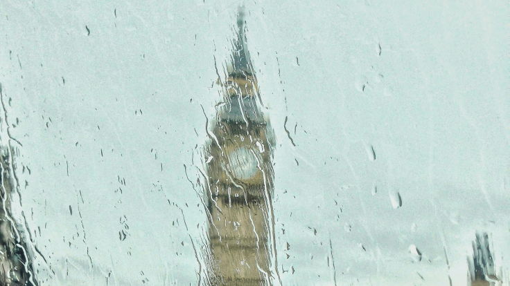
@tugaudis Rain in London,,
♬ original sound - K
Eight Counties Likely to Avoid the Rain
While much of the country is bracing for a washout, eight counties appear likely to escape the worst of the weather. These include Aberdeenshire, Somerset, Middlesex, Kent, Essex, Suffolk, Norfolk, and Cambridgeshire. WXCharts models show these regions staying largely dry, though scattered showers cannot be ruled out.
Notably, these same counties were issued yellow thunderstorm warnings just four days ago. That warning has since expired, but it illustrates how quickly conditions have changed throughout August. Residents in these counties should still monitor local forecasts as weather models may shift.
What to Expect in the Coming Days
From 18 August onwards, eastern areas are likely to see more cloud and occasional drizzle overnight, with clearer spells developing in the west. Winds will strengthen, especially across the far southwest, where gusts around the Moors are expected. Temperatures will remain warm in sunny areas but cooler where low cloud persists.
The Met Office reports that the final week of August could bring more active Atlantic weather systems. While southern areas may start dry, confidence remains low, and conditions may deteriorate quickly. Those planning events over the bank holiday should be aware of the increasing risk of rain and gusty winds from 27 August onwards.
Impact and Preparedness
The expected rainfall could lead to localised flooding in some areas, especially where ground remains dry and hardened from recent heatwaves. Commuters and holidaymakers may face disruption, particularly in areas where heavier rainfall aligns with bank holiday travel. Authorities have not yet issued official flood alerts but will continue to monitor developments.
Weather services will provide updates as the system approaches. Those in vulnerable areas, especially in parts of Wales and the Midlands, are advised to check local forecasts regularly and plan for poor road conditions.
© Copyright IBTimes 2025. All rights reserved.
- MOST POPULAR IN National


