Google Maps latest update adds COVID-19 layer to show potential transmission hotspots
The feature is reportedly slated to go live within the week for Google Maps on both Android and iOS devices.
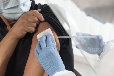
With healthcare systems already following established guidelines for controlling the outbreak of the 2019 novel coronavirus, some countries are already reporting success. On the other hand, there are also some regions that continue to struggle against the pandemic amid surging numbers of new transmissions. As such, many have turned to technology for real-time information, which is why the latest update for Google Maps would show users which areas are have rising or falling cases of COVID-19 infections.
The feature is reportedly slated to go live within the week for Google Maps on both Android and iOS devices. Given its ubiquitous usage across the globe, it presents an ideal platform to display the details people need to be aware of before they travel. The latest version of the app should have it available through a new layer that shows a virtual COVID-19 heat map in various colours to indicate the figures reported for a particular location.
Depending on the density of reported SARS-CoV-2 infections by area, a colour coding system will be used to represent the seven-day average of new cases among 100,000 residents. Grey means none, yellow indicates one to 10, orange means 10 to 20, dark orange marks 20 to 30, red 30 to 40, and finally dark red for above 40. Data will be accessible for all 220 countries supported by Google Maps.
"More than one billion people turn to Google Maps for essential information about how to get from place to place–especially during the pandemic when safety concerns are top of mind. Features like popular times and live busyness, COVID-19 alerts in transit, and COVID checkpoints in driving navigation were all designed to help you stay safe when you're out and about, wrote Google Maps product manager Sujoy Banerjee on the internet search company's The Keyword blog.
"This week, we're introducing the COVID layer in Maps, a tool that shows critical information about COVID-19 cases in an area so you can make more informed decisions about where to go and what to do," it continued. Google notes that the data used by the app is supplied by "authoritative sources" such as Wikipedia, New York Times, and Johns Hopkins among others. The numbers are provided by government health ministries, state/local hospitals or agencies, and the World Health Organization (WHO).
© Copyright IBTimes 2025. All rights reserved.
- MOST POPULAR IN Health