

England and Wales Face Flood Risk as Thunderstorms Break Weeks of Heat and Drought
Met Office issues yellow warning for intense rain and potential flooding
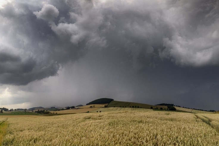
England and Wales are bracing for thunderstorms and heavy rain after weeks of hot and exceptionally dry weather, with the Met Office warning that intense downpours could trigger flooding, travel disruption and power cuts across large parts of the country.
A yellow thunderstorm warning is in force from 3 am to 10 pm on Wednesday, 26 August, covering areas including London and the South East, the Midlands, East Anglia, parts of the North West and South West, and large parts of Wales.
The warning comes as the weather shifts sharply from prolonged heat and dryness to potentially disruptive storms.
Intense Rain Could Trigger Flash Flooding
The Met Office said a band of heavy showers and thunderstorms would move northwards during Wednesday morning, followed by a further risk of storms developing during the afternoon.
While many areas will avoid the worst conditions, thunderstorms that do form could be intense. The Met Office expects rainfall of 20mm to 30mm in less than an hour, while some locations could receive 40mm to 50mm within two to three hours.
Such rainfall could overwhelm drainage systems and produce surface water flooding, particularly in areas that experience the heaviest storms. Large hail and frequent lightning are also possible.
The storms are expected to drift northwards and weaken during Wednesday evening.
Which Areas Are Under Warning?
The warning covers a broad stretch of England and Wales.
In England, affected areas include parts of the East Midlands, East of England, London and South East England, North West England, South West England, West Midlands and Yorkshire and Humber.
In Wales, areas covered include Cardiff, Newport, Conwy, Gwynedd, Powys, Wrexham, Monmouthshire and Rhondda Cynon Taf, among others.
A further yellow warning begins at 6 am on Thursday, 27 August, running until 10 pm. The Met Office expects another band of thunderstorms and heavy rain to move north across England and Wales, with some areas potentially receiving 20mm to 30mm in three hours and up to 50mm over 12 hours.
Why the Sudden Weather Shift Matters
The change comes after an extended period of heat and drought, meaning the arrival of heavy rain could create a particularly difficult combination of conditions.
The Met Office has warned that sudden flooding could make roads hazardous, while lightning and hail could cause additional disruption. There is also a small possibility of power cuts and some communities becoming temporarily isolated by flooded roads.
The contrast is particularly stark in Wales, where the latest forecast describes conditions as warm and humid on Wednesday, with rain and thunderstorms expected before further unsettled weather through the weekend.
Drivers and Households Urged to Prepare
The Met Office has advised people in areas at risk of flooding to consider preparing a flood plan and emergency kit.
Drivers have also been warned that surface water and sudden flooding could make journeys more difficult, while households are advised to secure loose outdoor objects before gusty winds arrive.
For anyone caught outside during a thunderstorm, the Met Office recommends finding enclosed shelter and avoiding trees or exposed structures that could be struck by lightning.
The immediate threat is expected to ease after the storms move north and weaken, but further unsettled conditions are forecast through the weekend, marking a dramatic shift from Britain's recent spell of heat and drought.
© Copyright IBTimes 2026. All rights reserved.