

Ancient Canyon Discovered Buried Under South Tibet River

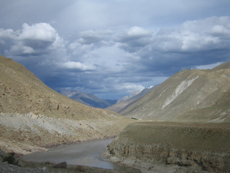
An ancient canyon hundreds of feet deep in places has been discovered buried under a river in Tibet beneath.
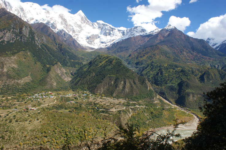
Geologists say the find rewrites current thinking on how the gorges of the Himalayas formed, becoming extremely steep extremely fast.
Researchers from the China Earthquake Administration and the California Institute of Technology (Caltech) discovered the canyon beneath the Yarlung Tsangpo River in south Tibet, on the eastern end of the Himalayas.
Caltech's Jean-Philippe Avouac said he was "extremely surprised" when his colleagues showed him evidence of the canyon: "When I first saw the data, I said, 'Wow!' It was amazing to see that the river once cut quite deeply into the Tibetan Plateau because it does not today. That was a big discovery, in my opinion."
Normally, researchers use GPS and seismology to study deformation of land. However, when looking at changes that took place millions of years ago, rivers become the mains source of information as they leave behind signatures geologists can use to find out how they used to interact with the land.
Rivers effectively show them when the land changed, and how much by.
Published in the journal Science, researchers were collecting cores by drilling into the valley floor along the Yarlung Tsangpo River. After sharing the data, experts from Caltech soon realised the findings indicated the presence of a paleocanyon.
The data showed several locations where gravel and rocks cemented together down to a depth of about 800m: "This suggested that the river once carved deeply into the plateau," researchers said in a statement.
By measuring two isotopes that show decay, scientists determined the canyon began to fill with sediment 2.5 million years ago.
A reconstruction shows the slope of the river once increased gradually, compared with today where the river has a steep knickpoint where it meets the Himalayas. At this point, the uplift is extremely rapid, rising at double the average rate.
They established that the river existed about three million years ago. When the Indian an dEurasian plates collided, the mountain range pushed northward, which began to impact the river. Then, about 2.5 million years ago, the uplifting mountain got in the rivers way and the canyon was filled with sediment.
The discovery of the canyon disputes two previous theories about rivers in the Himalayas. One theory - tectonic aneurysm - suggested the rapid uplift was triggered by intense river incision, whereby the river cut down through the earth's crust so fast it heated up, weakening the nearby mountain range and allowing it to rise quickly.
Avouac said: "But now we have discovered that the river was able to cut into the plateau way before the uplift happened, and this shows that the tectonic aneurysm model was actually not at work here. The rapid uplift is not a response to river incision."
© Copyright IBTimes 2025. All rights reserved.
- MOST READ


