Mars Exploration: Nasa's Curiosity Rover Set for 5km Trek Up Mount Sharp
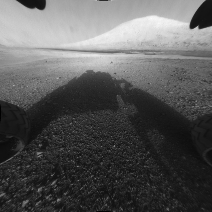
Nasa's Mars Curiosity rover has reached the foothills of Mount Sharp, its final destination at the centre of the vast Gale Crater, after exploring Martian terrain for two years.
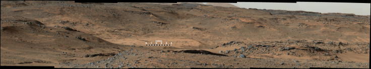
Mount Sharp presents a series of geological layers that can throw light on the climatic and geological evolution of the Red Planet. Curiosity's trek up the 5km tall mountain will begin with an examination of the mountain's lower slopes, according to Nasa.
The rover is starting this process at an entry point near an outcrop called Pahrump Hills.
The decision to head up hill was a result of the rover's examination of several outcrops during the year. It also marks a shift in operations style from a priority on driving to one on investigations, the space agency says.
After landing inside Gale Crater in August 2012, Curiosity set about its major science goal of determining whether Mars offered environmental conditions favourable for microbial life.
In an extended detour, the rover had proceeded in a direction opposite to Mount Sharp but chanced upon Yellowknife Bay, an area that yielded evidence of a lake bed environment billions of years ago that offered fresh water, and possibly sustained microbial life.

Curiosity reached its current location after its route was modified earlier this year following excessive wheel wear from traversing a terrain littered with sharp, embedded rocks.
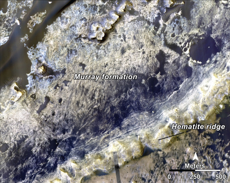
Last month, Curiosity made its first close-up study of two Murray Formation outcrops, near its current location. While the first outcrop, Bonanza King, revealed high silicon content, the second one showed on camera a fine-grained, platy surface laced with sulphate-filled veins.
The rover missions have been mandated to seek habitable conditions on the Red Planet, look for organic molecules and study how the planet changed from a warm, wet world to a cold, dry one.
© Copyright IBTimes 2025. All rights reserved.
- MOST POPULAR IN Science