

Google Maps Now Allows You Recreate London in 3D
Internet search engine giant Google has launched an all-new 3D view of London allowing users of Google Maps and Google Earth to virtually recreate the entire city in 3D.
Google has expanded its 3D Earth Imagery portfolio in the United Kingdom to includ the capital having already allowed users to reconstruct the likes of Birmingham, Reading, Stoke-on-Trent and Leeds in 3D.
The feature allows Google Maps and Google Earth users to create a 3D representation of all the aspects that adorn that particular city.
These aspects include famous monuments, historical places, major buildings, tourist attractions and even smaller stuffs like plants and trees on a particular street.
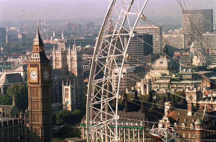
Among the attractions available in the 3D representation of London include London Bridge, Buckingham Palace, Big Ben, Tower Bridge and the Palace of Westminster.
3D city imagery allows users to zoom in on an attraction, pan, rotate and even tilt, to get a realistic view. This functionality should serve as a useful tool for travellers planning to visit cities of the world.
To check out London's 3D imagery, users can launch either Google Maps or Google Earth, and zoom in onto London on either of these services.
Users can click on a particular London attraction, after zooming in, to access latest information on it.
Google says that its engineers used 45-degree aerial-imagery to reconstruct various famous attractions of London in 3D, for a comparatively greater degree of accuracy.
© Copyright IBTimes 2025. All rights reserved.
- MOST READ


