

Britain now has a new tallest mountain: All you need to know about Mt Hope
Mount Hope replaces Mount Jackson as the UK's tallest mountain as per the latest measurements by the British Antarctic Survey (BAS).

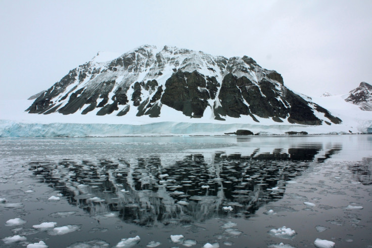
The UK now has a new tallest mountain after British scientists found explorers got it wrong in earlier measurements in the 1930s. Re-measurement by polar explorers has now confirmed Mount Hope in the British Antarctic Territory as the highest British mountain, replacing Mount Jackson.
While Hope, located in the part of Antarctic claimed by Britain, stands 3,239m (10,626ft) tall – 377m taller than the earlier estimate – Jackson is 3,184m (10,446ft) tall. These measurements, collected by cartographers using satellite technology, are said to be accurate within 5m.
The discovery was made by the British Antarctic Survey (BAS) while reworking the maps in the region due to safety concerns for pilots flying across the White Continent. Earlier measurements were taken by pioneering dog-sleighing teams.
In the latest measuring method, researchers decided to employ high-resolution image system after the initial medium-resolution images hinted that Hope's height could have been underestimated in the past.
"In Antarctica, there are no roads, so to get around you have to fly planes. And if you're flying planes you really need to know where the mountains are and how high they are," said Peter Fretwell of the BAS, reported the BBC. "There have been plane crashes on the continent and we believe some of them may have been due to poor mapping."
Mt Hope has now been found to be 12% higher than recorded by the British Graham Land expedition when it was surveyed in 1936. Hope sits on a long chain of peaks that runs down the spine of the Antarctic Peninsula.
Though there is ambiguity about the height of other mountains, Mount Vinson at 4,892m (16,050 ft) remains the undisputed tallest mountain in Antarctica. It is located just outside the so-called British Antarctic Territory. In comparison, the Mount Everest stands tall at 8,848m.
"This is an exciting discovery within the British Antarctic Territory," said Adrian Fox, head of mapping and geographic information at BAS. "Modern satellite data highlights how inaccurate previous surveys and maps were for some parts of the region."
Besides the new discovery, the re-measurement exercise by the map-makers has now given a clearer picture of the quadrant of the White Continent claimed by the UK. "The British Antarctic Territory is one of the most remote and unique British overseas territories and one of the most pristine landscapes on the globe," said Sir Alan Duncan, foreign office minister with responsibility for the Polar Regions.
"The discovery of Mount Hope as the UK's tallest peak is a great example of British science making big steps forward in mapping techniques to help us get a better understanding of this fascinating region," Duncan added.
- MOST READ


