

Could Britain Have a Snowier Winter? What a Powerful El Niño Could Mean
Exploring the potential effects of a powerful El Niño on Britain's winter weather patterns
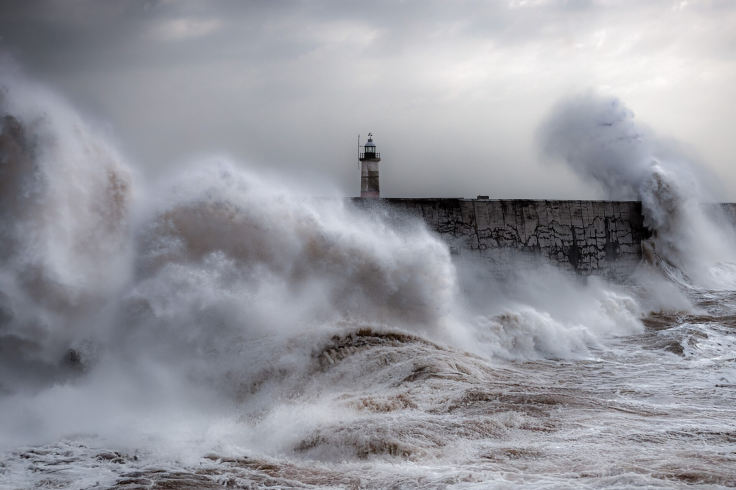
Britain could face a wetter and stormier start to winter as a powerful El Niño strengthens, but forecasters say it is too early to conclude that the country is heading for widespread heavy snow.
The developing El Niño has prompted renewed interest in Britain's winter 2026/27 outlook, including questions about snowfall and how the climate pattern could affect the country.
Long-range forecasts have linked El Niño with changing snowfall patterns. However, the Met Office has not predicted an unusually snowy British winter in its current guidance.
What Is the 'Super El Niño'?
El Niño occurs when sea-surface temperatures become unusually warm across the central and eastern tropical Pacific. That warming can disrupt atmospheric circulation and influence rainfall, temperatures and storms around the world.
The Met Office reported in June that El Niño conditions had developed in the tropical Pacific. Early projections suggested that it could become a very strong event, potentially one of the most intense on record.
However, 'super El Niño' is not an official Met Office classification. The phrase is commonly used to describe an exceptionally powerful event, but forecasters assess its strength using ocean temperatures and atmospheric changes.
The Met Office said its August forecasts showed potentially record sea-surface temperature values while stressing that the outcome depended on those projections proving accurate. The event is moving towards its expected winter peak.
What Could El Niño Mean for Britain?
El Niño does not produce the same weather in every country. Its influence on Britain is indirect and interacts with the jet stream, Atlantic pressure patterns, sea temperatures and other climate drivers.
According to the Met Office, El Niño can increase the likelihood of milder, wetter and windier conditions across the UK during autumn and early winter. It can also be associated with colder and calmer periods later in winter.
Snow therefore remains possible, particularly if colder air reaches Britain while sufficient moisture is present. Elevation and location would also influence where any snow fell and settled.
Nevertheless, the possibility of colder spells does not automatically mean that Britain will experience a snowier winter overall. Individual weather systems will determine whether precipitation falls as rain, sleet or snow.
Why Long-Range Snow Predictions Remain Uncertain
Seasonal forecasts describe probabilities and broad patterns rather than predicting conditions on particular days. The Met Office explains that its three-month outlook covers average temperature, rainfall and wind across the UK, not local daily weather.
A winter can finish warmer than average while still containing a short but disruptive cold spell. It could also be wetter without producing substantial snow if temperatures remain above freezing.
Forecast confidence normally improves as winter approaches. Shorter-range forecasts will provide a more reliable indication of whether Arctic air, Atlantic storms or blocking high pressure could create snow.
Could the UK Have a Snowier Winter?
It remains possible, but it is not yet established. A strong El Niño may alter the likelihood of particular weather patterns, although it cannot determine Britain's entire winter by itself.
Current official guidance points more clearly towards an increased chance of wetter and stormier weather during autumn and early winter than towards nationwide heavy snowfall.
People planning for winter should monitor Met Office forecasts instead of treating dramatic seasonal maps as confirmed predictions. Whether Britain receives more snow than usual will depend on weather patterns that cannot yet be forecast confidently.
© Copyright IBTimes 2026. All rights reserved.