

El Niño Is 'Supersizing': What It Means for Winter 2026-2027 Snowfall and What's Coming in the US and the UK
Exploring the potential impact of a strong El Niño on global weather patterns
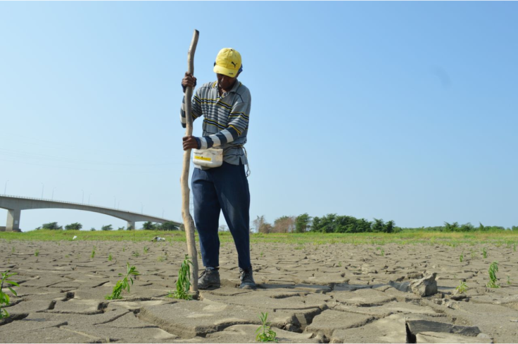
Winter 2026-2027 could bring a sharply different weather pattern across the US and UK as a rapidly strengthening El Niño heads towards its expected peak later this year, with forecasters warning of heightened risks of flooding, drought, extreme heat and major shifts in snowfall.
The World Meteorological Organization (WMO) now puts the likelihood of El Niño continuing through February 2027 at nearly 100%, while NOAA says there is a greater than 90% chance of a very strong event during the Northern Hemisphere autumn and winter.
NOAA also gives a 69% chance that the October-December period will produce a historic event exceeding the strength of previous El Niño events dating back to 1950.
Why El Niño Is Being Called 'Supersized' Before Winter
El Niño is a natural climate phenomenon that develops when changes in Pacific Ocean temperatures and winds alter atmospheric circulation, affecting rainfall and temperatures far beyond the tropics. The current event became firmly established by mid-August, with ocean temperatures across the central and eastern tropical Pacific continuing to rise.
The WMO expects the event to intensify into a 'very strong' El Niño before peaking towards the end of 2026, with its influence potentially continuing into 2027. Recent observations show exceptionally warm Pacific waters, and the WMO puts the likelihood of El Niño persisting through February 2027 at nearly 100%.
UN Secretary-General António Guterres warned that 'El Niño is being supersized before our eyes.' He said the rapidly intensifying phenomenon, driven by rising sea and air temperatures, is pushing the world closer to more extreme weather and stressed the need for stronger climate action.
WMO Secretary-General Celeste Saulo cautioned that the strengthening phenomenon could have serious consequences for communities and economies worldwide. Droughts and floods are already causing disruption and could worsen as El Niño develops.
In just few hours, we will have rare triplet hurricanes across the Pacific.
— Colin McCarthy (@US_Stormwatch) September 2, 2026
El Niño is in full force. pic.twitter.com/rsLKIbqZmM
What a Strong El Niño Could Mean for US Snowfall
For the US, El Niño's influence is particularly important during winter because it can shift the jet stream and redistribute moisture across the country. The typical pattern favours wetter conditions across parts of the southern US, while northern areas are more likely to experience warmer and drier conditions.
That does not mean every state will see more snow. NOAA notes increased precipitation across the southern tier can produce greater snowfall, particularly in colder, higher elevations of the West, while snowfall tends to decrease across the Great Lakes, interior New England, the northern Rockies and the Pacific Northwest during El Niño winters.
NOAA's latest seasonal outlook favours above-normal precipitation across much of the southern tier, including parts of the Southeast, while below-normal precipitation is more likely across sections of the northern US. The agency stresses that El Niño raises the odds of these patterns but does not guarantee them.
You're looking live at El Niño going "full-tilt" to start meteorological fall. Once in a lifetime event.
— Ryan Maue (@RyanWeather) September 1, 2026
Three monster hurricanes in E. Pacific w/Hawaii splitting the uprights.
Moisture from Hurricane Marie is going to inundate U.S. desert Southwest with major monsoon! pic.twitter.com/WN6G8gM2ra
Why a Strong El Niño Could Mean a Wetter, Stormier UK Winter
The UK is much farther from the Pacific, so El Niño's influence is less direct and predictable than across the US. However, a strong El Niño can still affect large-scale atmospheric circulation, and forecasters are monitoring whether it will amplify Atlantic storm tracks, which typically bring wetter and windier conditions to Britain.
Chris Jaccarini of the Energy and Climate Intelligence Unit warned that increasingly extreme weather is driving up food prices and worsening conditions for British farmers.
He said five heatwaves and widespread drought had contributed to what he described as the country's worst harvest on record, according to the ECIU.
He said urgent action to cut emissions and strengthen climate resilience is needed, warning that the effects of climate change could intensify further as El Niño amplifies extreme weather. The UK outlook should therefore not be interpreted as a straightforward forecast for widespread snow.
El Niño can influence the broader winter pattern, but local temperatures, Atlantic weather systems and other climate drivers will determine whether Britain experiences rain, storms, cold spells or snowfall.
Stronger El Niño Raises Flood, Drought and Extreme Weather Risks
The consequences of the strengthening event extend well beyond snowfall. The WMO says a very strong El Niño can significantly alter global rainfall and temperature patterns, increasing the likelihood of floods, drought and extreme heat into 2027.
Drier conditions are already affecting parts of Southeast Asia, according to the WMO's latest regional outlook, while wetter-than-average conditions are expected in southern Brazil and parts of the southern US. The phenomenon is also linked to increased wildfire risks and disruptions to agriculture and water supplies.
The warning comes as the Pacific continues to warm. The WMO says El Niño is already firmly established and is expected to strengthen further before peaking towards the end of 2026, making the coming autumn and winter an important period for monitoring its effects.
© Copyright IBTimes 2026. All rights reserved.