

'Strongest in Living Memory': Why Scientists Fear the Next El Niño Could Rewrite Weather Records
NOAA warns of a rapidly strengthening El Niño, raising concerns over global weather shifts and temperature records.
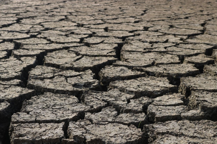
A rapidly strengthening El Niño could become one of the most powerful on record, raising the risk of major shifts in global weather and potentially pushing temperatures to new highs in 2027.
The climate pattern is already established across the tropical Pacific, with the US National Oceanic and Atmospheric Administration (NOAA) warning that there is a greater than 90% chance of a very strong El Niño during the Northern Hemisphere autumn and winter of 2026-27.
The warning matters because powerful El Niño events can disrupt rainfall, temperatures, and atmospheric circulation across large parts of the world.
El Niño Is Strengthening Rapidly
El Niño occurs when unusually warm sea surface temperatures develop across the central and eastern tropical Pacific, altering the movement of heat and moisture through the atmosphere.
NOAA said sea surface temperature anomalies in the eastern equatorial Pacific exceeded 2°C during July. The Niño-3.4 index, one of the key measures used to assess El Niño strength, reached +1.4°C, while the Niño-1+2 region recorded an anomaly of +2.9°C.
NOAA's August assessment also found that the event is expected to continue strengthening towards the end of 2026.
Could This El Niño Break Records?
The answer is increasingly possible, although scientists cannot yet say with certainty that it will become the strongest ever recorded.
NOAA estimates a 69% chance that the October-December 2026 period will produce a historic El Niño exceeding the strength of previous events dating back to 1950.
Experimental modelling by NOAA's Geophysical Fluid Dynamics Laboratory is similarly striking. All 30 members of its August prediction ensemble produced peak El Niño strengths that would compete with the strongest events in the historical record. The model suggests the event could peak between October and January.
That puts the developing event in the same conversation as major El Niños such as those recorded in 1982-83, 1997-98 and 2015-16.
Why the World Could Feel the Impact
A very strong El Niño does not produce the same weather everywhere, but it can substantially alter regional climate patterns.
Parts of the world could face increased risks of drought, flooding, extreme heat and disrupted rainfall, depending on location and season. Changes to ocean temperatures can also affect marine ecosystems, agriculture and water supplies.
For the UK, the effects are less direct but can still influence atmospheric circulation and winter weather patterns.
The wider significance is that the event is developing on top of an already warmer global climate, meaning its temporary warming influence could have a particularly large effect on global temperatures.
Could 2027 Become The Hottest Year?
One of the biggest concerns is what happens after the El Niño reaches its peak.
A powerful El Niño releases substantial heat from the Pacific into the atmosphere. Combined with the continuing long-term warming trend caused by greenhouse gas emissions, that could push global temperatures exceptionally high.
If current forecasts hold, 2027 could challenge existing global temperature records as the effects of the El Niño feed through the climate system.
The immediate forecast remains uncertain, however. Scientists will continue monitoring Pacific Ocean temperatures, winds and atmospheric conditions as the event develops.
For now, the message from forecasters is clear: the 2026-27 El Niño is strengthening rapidly, and there is an unusually high probability that it will become an exceptionally powerful event.
© Copyright IBTimes 2026. All rights reserved.