

Revolutionary Nasa technique captures melting Antarctic ice like never before
The seven-year-long work on the system shows that West Antarctic ice sheets are melting at a rapid rate.
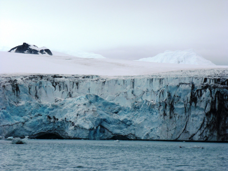
Nasa has developed a revolutionary technique that gives an unprecedented and highly-detailed look at Antarctic ice loss.
The method revolves around a computer-vision system which uses images from the US Geological Survey's Landsat satellites and reveals how fast Antarctic ice-sheets are melting and flowing into the sea.
"Now, we can map ice flow over nearly the entire continent, every year," said Nasa's Alex Gardner said while describing the new tech. "We're entering a new age".
The tech eliminates manual labour and compares thousands of images with older ones to reveal features of melting Ice sheets. It even works if the high-quality shots of the continent are obscured by clouds.
The seven-year-long work on the system, published in Cryosphere, falls in line with previous studies and shows that West Antarctic ice sheets are melting at a rapid rate, while those in the east are flowing at a steady pace.
The glaciers flowing into the Marguerite Bay, on the western Antarctic Peninsula, rose by 1,300 to 2,600 feet per year. Thwaites and Pine Island glaciers also accelerated, although at a much slower rate.
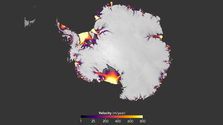
Meanwhile, the discharge from the eastern side has remained stable throughout seven years. Scientists have predicted this change in the past, but this is the first-ever direct measurement of the ice sheets in the region, according to Nasa
The biggest find, however, is the observation of accelerated glacier flows into Antarctica's Getz Ice Shelf, something that was unmeasured until now.
"We'll be able to use this information to target field campaigns, and understand the processes causing these changes," Gardner said.
"Over the next decade, all this is going to lead to rapid improvement in our knowledge of how ice sheets respond to changes in ocean and atmospheric conditions, knowledge that will ultimately help to inform projections of sea level change."
- MOST READ


