UK Major Snowfall Forecast: Snowstorm Days Away, Set to Blast the UK and Dump Up to 7 Inches of Snow on Brits
GFS model shows first major weather front could blast UK with up to seven inches of snow on 3 December
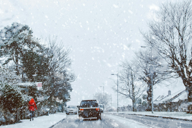
The UK could be blasted with severe wintry conditions and see up to seven inches of snow during the first week of December, according to advanced projections from the GFS weather model.
The latest modelling suggests that another significant snowstorm is only days away, with multiple weather fronts expected to sweep across the UK and deliver heavy snowfall, heavy rainfall, and sharp temperature drops.
GFS Model Maps Show Major Weather Front Incoming
Advanced GFS modelling indicates that the first major weather front will begin pushing in from the Atlantic during the early hours of 3 December, initially affecting Northern Ireland and Scotland.
Report from the Mirror suggests heavy snowfall is forecast across central and northern parts of Scotland, while Northern Ireland is expected to be hit with intense rainfall.
The weather front appears set to intensify as it moves eastwards and southwards through the morning.
By midday on 3 December, the modelling shows the band of snow drifting towards the Scotland–England border, bringing flurries accumulating at a rate of around 1cm per hour.
Meanwhile, in northern England, snowfall is expected to begin by approximately 3:00pm, particularly across the far north-east.
Second Front to Bring Further Disruption on 4 Dec
A second weather front is also forecast to push in from the Atlantic during the early hours of 4 December, this time affecting Wales and central England.
For a short period, North Wales may face what the modelling describes as intense snowfall, while surrounding regions are expected to experience heavy rain.
Snow depth data from the model suggests that the Cairngorms National Park in Scotland could see the most substantial accumulations, with up to 17cm of snow settling, equivalent to just under seven inches. Smaller accumulations of around 1cm may also be recorded in Northern Ireland, North Wales, and southern Scotland.
Met Office: Snow Likely on High Ground
The Met Office's medium-range forecast for 28 November to 8 December also acknowledges the potential for wintry conditions, stating that the period will likely remain unsettled.
Its outlook notes, 'Changeable and unsettled conditions are expected across the UK during this period. Low-pressure systems will tend to dominate, meaning showers or longer spells of rain for much of the UK, though there will likely be some brief settled interludes.'
The Met Office adds that while heavy rain is expected — especially in western regions — snow will be 'probably confined to high ground in the north.'
The forecast further states, 'Periods of strong wind are possible, especially around coasts and if any deep areas of low pressure form in the vicinity of the UK. Temperatures will likely be close to average or slightly above overall.'
BBC Weather: High Pressure Could Bring Mild Days
BBC Weather's outlook for 1 to 7 December broadly agrees that high pressure may dominate early December, bringing comparatively calmer conditions.
The forecast states, 'During the first week of December, the trend towards high-pressure dominance should continue, so there should be drier conditions for most of the UK. The high pressure is most likely to be positioned in such a way that it will be accompanied by a relatively mild air mass, meaning that daytime temperatures should be widely near or a little above the December average.'
Despite this, the BBC warns that overnight frost and fog patches remain possible due to clear and calm moments.
Occasional frontal systems could still affect northern and western regions, bringing rainfall and, in Scotland, 'some wintry precipitation could be possible over high ground.'
'Elsewhere, a weakening front or two could bring a little rain farther southwards and eastwards, so it's unlikely to be completely dry.'
The forecast adds that if high pressure shifts towards Scandinavia, 'chances of colder flows developing' would increase — a scenario that could bring more widespread wintry conditions.
© Copyright IBTimes 2025. All rights reserved.
- MOST POPULAR IN National