

Washington DC sinking fast increasing threat of sea-level rise
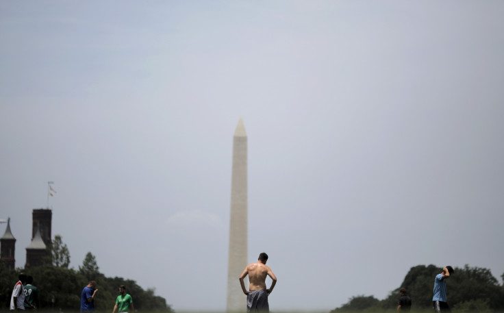
Washington DC could drop by six or more inches in the next 100 years as the land under Chesapeake Bay is sinking fast.
The sinking land could aggravate the challenges of sea level rise from global warming and flood the capital.
The rates of sea level rise in the region have been twice the global rates. Land subsidence is the reason, says a University of Vermont study.
Geologists say the land is sinking as a pre-historic ice sheet which was a mile thick has melted.
Extensive drilling done during the study along the Maryland coast confirms the theory. The sinking is part of a natural phenomenon that will continue for millions of years.
"Right now is the time to start making preparations," said Ben DeJong, the lead author on the new study, who conducted the research as a doctoral student at UVM's Rubenstein School of Environment and Natural Resources.
"Six extra inches of water really matters in this part of the world," he says.
The UN's Intergovernmental Panel on Climate Change models project roughly one to three or more feet of global sea-level rise by 2100 from global warming.
Swell and shrink
During the Ice Age, the North American ice sheet that stretched as far south as Long Island, placed tremendous weight on the Earth causing the mantle rock below to flow outward, away from the ice.
The land to the south, under the Chesapeake Bay region, bulged up.
Then, about 20,000 years ago, the ice sheet began melting away, allowing the bulge to shrink.
"It's a bit like sitting on one side of a water bed filled with very thick honey," explains DeJong, whose work was done with support from the US Geological Survey, "then the other side goes up. But when you stand, the bulge comes down again."
The team drilled seventy deep boreholes in and around the Blackwater National Wildlife Refuge, near Washington, on the Chesapeake's eastern shore. The age of the sand, rocks and organic matter in each layer was determined.
Along with high-resolution LiDAR and GPS map data, the team then created a detailed 3D portrait of the Chesapeake region in current and previous post-glacial geological periods. This provided a clear picture on the bulging and shrinking of the region.
"It's ironic that the nation's capital—the place least responsive to the dangers of climate change—is sitting in one of the worst spots it could be in terms of this land subsidence," said Paul Bierman, a UVM geologist and the senior author on the new paper. "Will the Congress just sit there with their feet getting ever wetter? What's next, forebulge denial?"
The new research was conducted by geologists from the University of Vermont, the US Geological Survey, and Utah State University, Berkeley Geochronology Center, and Imperial College, London.
The results were presented online on 27 July in the journal GSA Today.
© Copyright IBTimes 2025. All rights reserved.
- MOST READ


