Titanic Debris Site Mapped by Underwater Robots [PHOTOS]
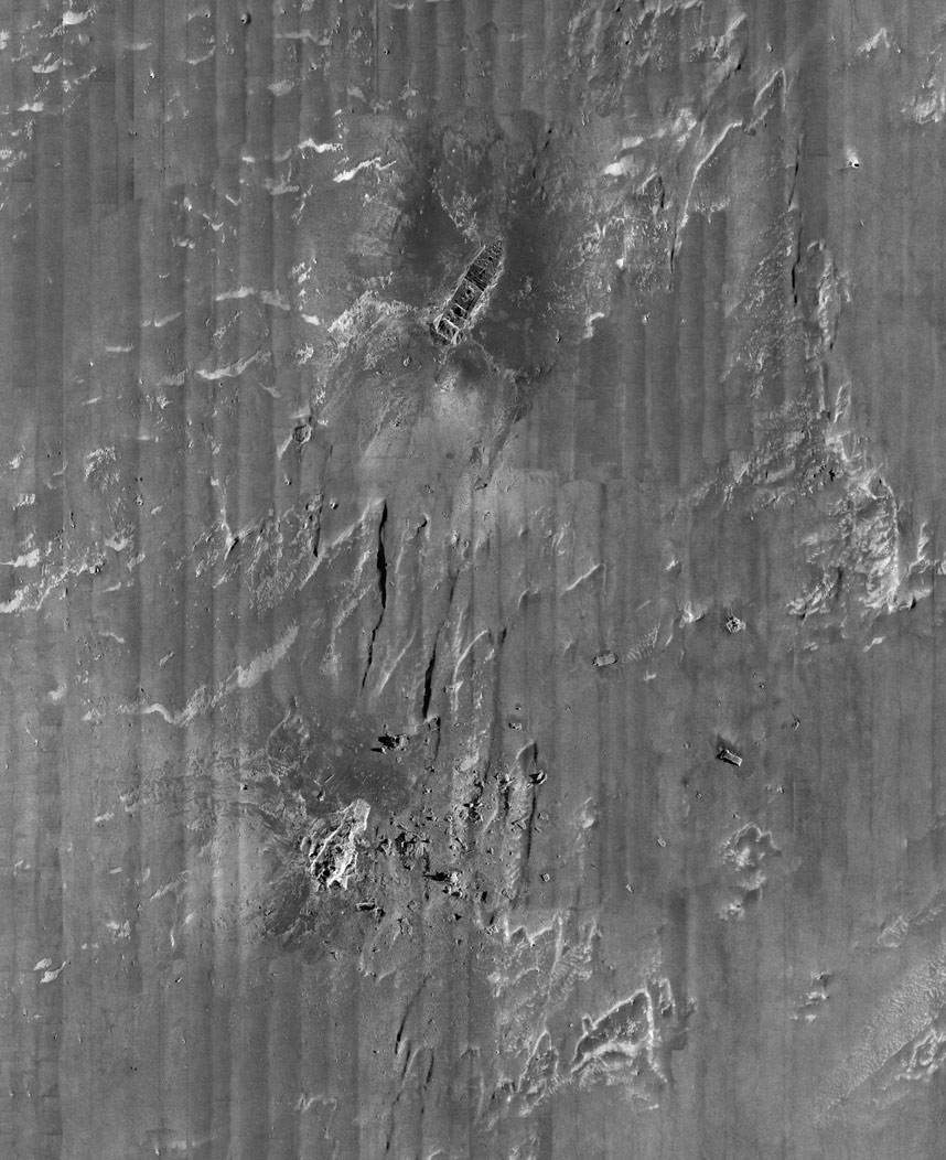
Researchers have mapped the entire debris field of the doomed ship, Titanic, using underwater robots and found new clues to learn what happened to the ship 100 years ago, when it hit an iceberg and sank killing more than 1,500 people.
A team of researchers have mapped the entire three-by-five-mile Titanic debris field using sonar imaging and more than 100,000 photos taken from underwater robots, reported the Associated Press.
Explorers have earlier mapped the floor around the wreckage but those old maps were incomplete. "With the sonar map, it's like suddenly the entire room lit up and you can go from room to room with a magnifying glass and document it," the Associated Press quoted Parks Stephenson, a Titanic historian, as saying.
"Nothing like this has ever been done for the Titanic site," he added.
The team, which began mapping the debris in 2010, is now planning to air a two-hour documentary on the expedition on 15 April, 100 years after the Titanic sank.
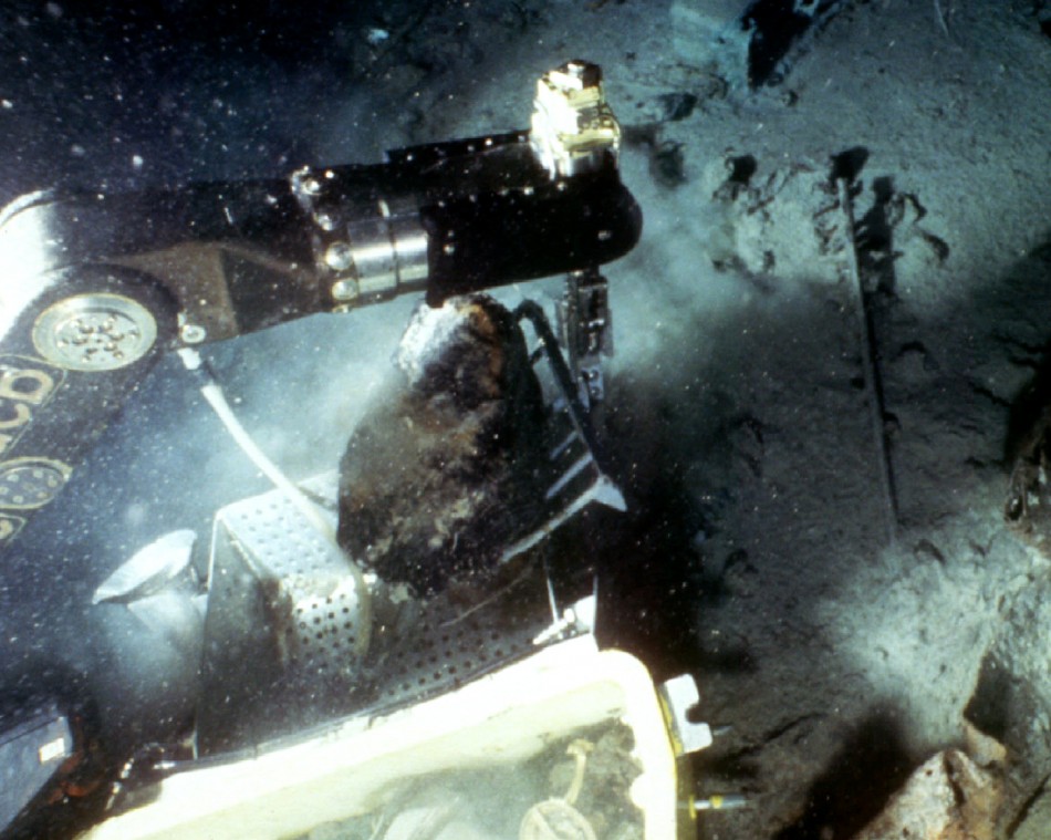
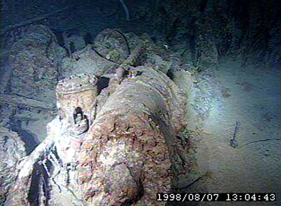
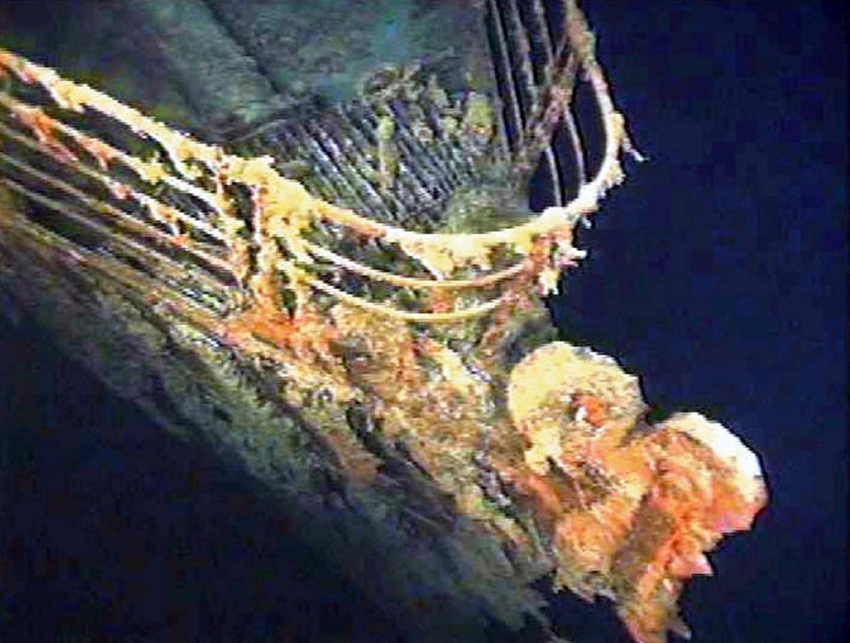
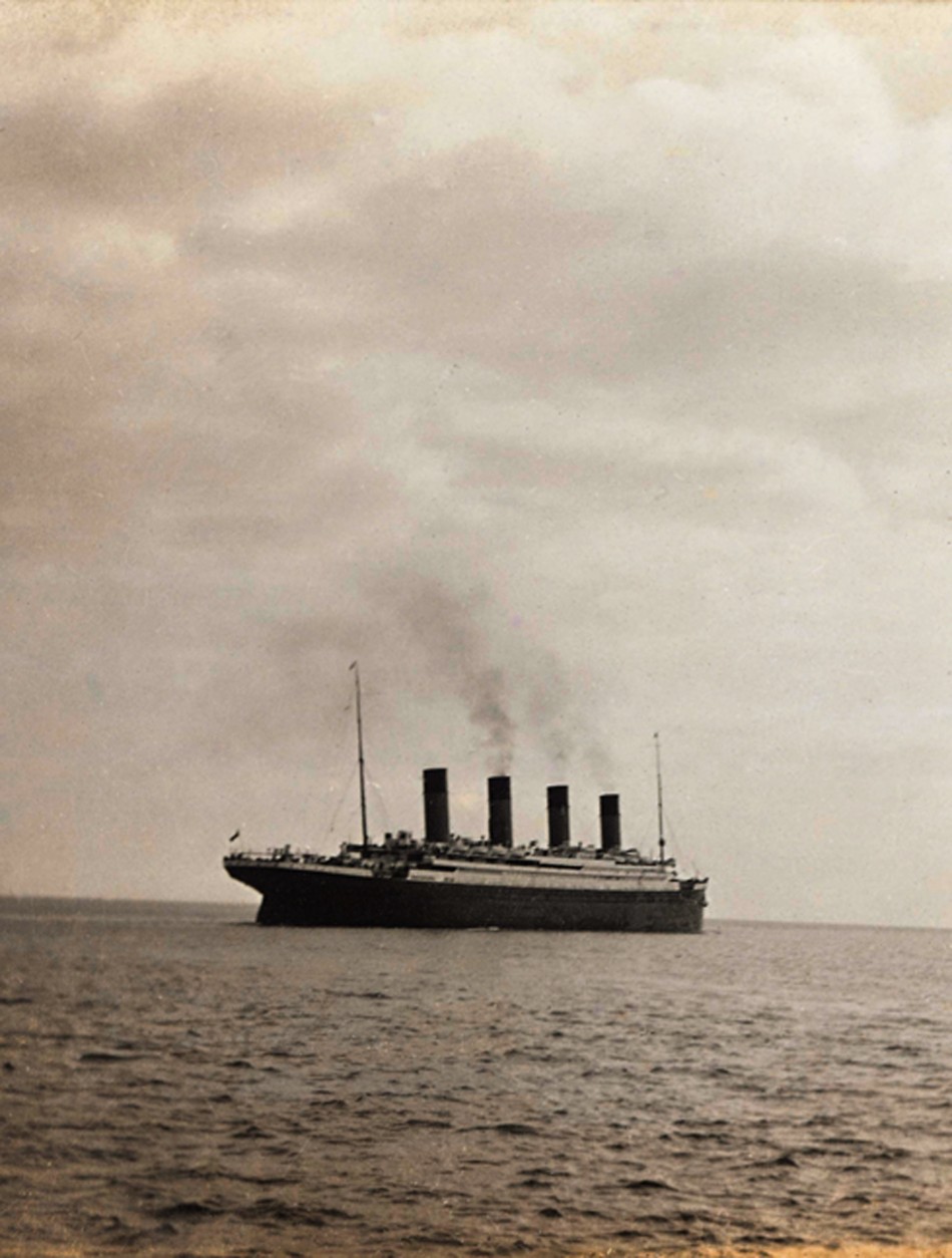
Check out images of the Titanic here:
© Copyright IBTimes 2025. All rights reserved.


