

Malaysia Airlines MH370: How Did 19th Century Physics Help Find 'Crash Site'?

British satellite telecommunications firm Inmarsat used a wave phenomenon discovered in the 19th century to analyse pings its satellite picked up from Malaysia Airlines Flight MH370 and determine its final destination.
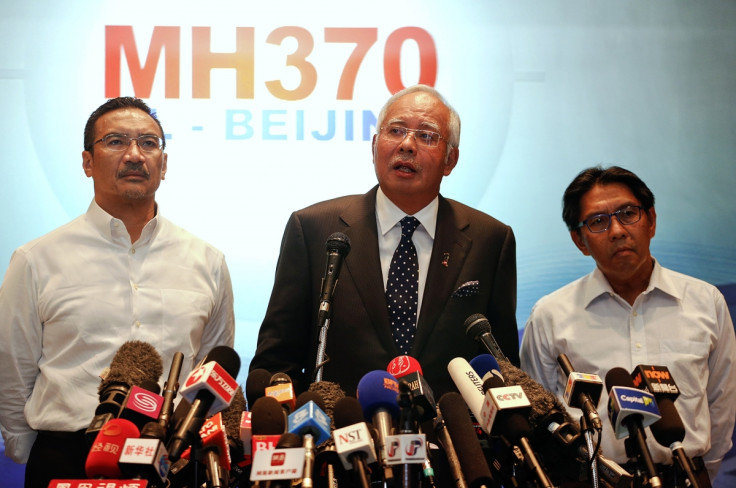
The technology led Najib Razak, the Malaysian prime minister, to conclude on Monday that the missing Boeing 777 crashed in the southern Indian Ocean, killing all 239 people on board.
The pings are automatically transmitted every hour from an aircraft, after the rest of its communications systems have stopped. These pings suggested the plane continued flying for hours after it disappeared from its planned flight path from Kuala Lumpur to Beijing.
As reported by Reuters, Inmarset was able to provide two arcs - one north and one south - that the aircraft could have taken, by the time the signals took to reach the satellite and the angle of elevation.
The Inmarsat scientists then investigated the pings using a technique similar to the Doppler effect, which denotes the change in frequency of a wave relative to its proximity to an observer.
The effect was first postulated by Christian Doppler, an Austrian physicist and mathematician, in a lecture at the Royal Bohemian Society of Sciences in 1842. It explains, for example, why the sound of a police car siren changes as it approaches and overtakes an onlooker.
Harnessing the power of Doppler's theory, Inmarsat used the ping data to roughly plot two areas where the plane likely flew after it lost contact with ground control and vanished from radar. The two potential paths took MH370 over central Asia and the Indian Ocean.
Inmarsat corporate communications chief Jonathan Sinnatt says: "We then took the data we had from the aircraft and plotted it against the two tracks, and it came out as following the southern track."
According to Sinnatt, the company then compared its theoretical flight path with data received from Boeing 777s it knew had flown the same route. Another satellite company then checked the results, before releasing them to investigators.
As the pings were only received by a single satellite every hour or so, techniques such as triangulation using a number of satellites or GPS could not have been used to determine the flight plath of MH370.
Stephen Wood, the chief executive of All Source Analysis, a satellite analytics firm, said investigators had reduced the search area, although it is still expansive.
He stated it was probable that the demise of the Malaysia plane is likely to prompt a review of aviation rules, in relation to communication equipment and the ability to turn off a plane's transponder.
Wood added: "This type of incident will cause everyone who flies airplanes commercially with passengers to be really pressed for a whole new line of ways to keep track of their precious cargo."
FLIGHT MH370 FACTBOX
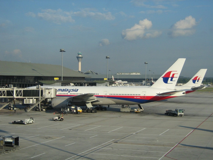
Flight MH370 took off from Kuala Lumpur International Airport en route to Beijing at 00:41 on Saturday 8 March (16:41 GMT Friday).
About 50 minutes later, the aircraft lost contact with air traffic control.
No distress call was made.
On board, there were 12 Malaysian crew members and 227 passengers from 14 countries. That included 153 Chinese and 38 Malaysians.
Two Iranian male passengers, Pouria Nour Mohammad Mahread and Delavar Syed Mohammad Reza, were travelling on fake passports. Neither had any apparent links to terrorist groups.
No debris from the plane has been found in the international search.
Last confirmed communication with Indian Ocean satellite occurred at 08:11am, meaning plane continued to fly for seven hours after radar signal was lost.
At least 25 countries, including China, the US and Singapore, have now joined in the search for the missing plane.
© Copyright IBTimes 2025. All rights reserved.
- MOST READ


