

New Horizons: Google Earth map of Pluto created as 'tantalizing preview' ahead of fly-by

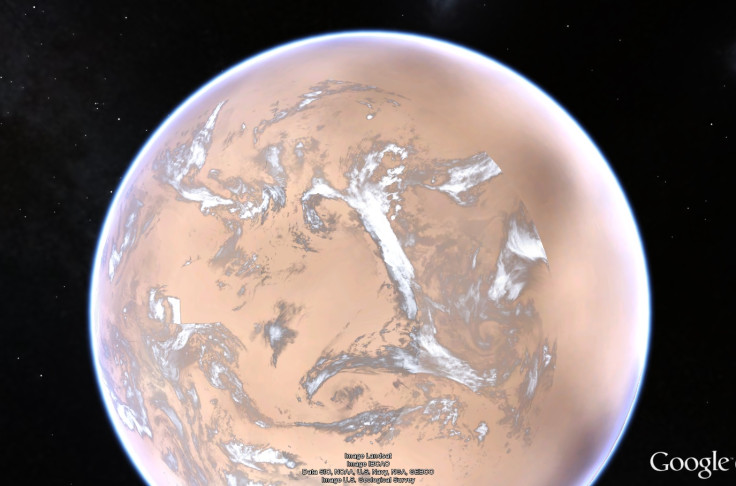
A Google Earth map of Pluto has been created as a "tantalizing preview" of what to expect from the New Horizons mission ahead of the flyby on 14 July.
The map was created from images taken of the dwarf planet with the Long Range Reconnaissance Imager (LORRI) and the Ralph instrument on New Horizons.
People using Google Earth can download a version of it here. As more data is made available, the map will be updated accordingly.
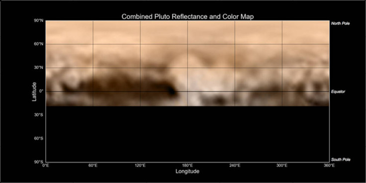
The latest updates are from a map released by Nasa that provides tools to work out the finer details of Pluto's unusual bright and dark markings. This includes the area known as "the whale" which appears along the equator on the left side of the map.
This is one of the darkest regions New Horizons has spotted and is believed to be about 1,860 miles (3,000km) long. To the right of the whale's head is the brightest region of the planet – scientists believe this could be an area where fresh deposits of frost (possibly containing methane, nitrogen and carbon monoxide) form a bright coat.
Even further to the right there are four mystery dark spots measuring hundreds of miles across.
At the tail end, to the left, there is a 200-mile wide doughnut-shaped feature that could possibly be an impact crater or volcano, although scientists are waiting for more detailed images to make any proper judgement.
"We're at the 'man in the moon' stage of viewing Pluto," said John Spencer, deputy leader of the Geology, Geophysics and Imaging team for New Horizons. "It's easy to imagine you're seeing familiar shapes in this bizarre collection of light and dark features. However, it's too early to know what these features really are."
The image resolution will become increasingly clear over the coming week and eventually will be around 70m per pixel. Alan Stern, New Horizons principal investigator, told IBTimes UK earlier this year: "If we flew over London we'd be able to spot individual buildings ... when I say buildings I mean things like stadiums or large buildings in the down town – not individual houses."
© Copyright IBTimes 2025. All rights reserved.
- MOST READ


