Storm Benjamin Set To Unleash Furious 70 mph Gusts – Brace Yourself UK
UK braces for chaos as Storm Benjamin unleashes torrential rain and fierce gusts across England and Wales

A powerful and potentially disastrous weather system named Storm Benjamin is forecast to batter the United Kingdom, bringing the risk of near-life threatening gusts and bursts of rainfall to southern and eastern regions. The Met Office has issued multiple yellow weather warnings ahead of the storm's arrival as authorities urge residents to take precautions against the fiercest conditions expected by the UK.
Approaching Wind and Rain Threat
Storm Benjamin is forecast to cross the southern United Kingdom as a deep area of low pressure, carrying with it a potent mixture of strong winds and heavy downpours according to reports. The Met Office has warned that large waves could slam into sea fronts and that winds may generate flying debris capable of injuring people and even damaging property. The warnings began early Thursday morning with a wind alert active from 3 am in East Anglia, Lincolnshire and parts of eastern Yorkshire, expanding across southern England throughout the day.
Gusts of 50 to 60 mph are expected quite widely with the possibility of gusts reaching a dangerous 65 to 70 mph near the coasts. In the most extreme scenario, the Met Office notes that gusts 'in excess of 70 mph' could develop later in the morning into the afternoon. Rainfall warnings accompany the winds, with some areas in southern and eastern England as well as parts of south Wales at risk of up to 50 mm of rain in a short period, raising the threat of surface flooding and disruption to transport networks.
Storm Benjamin has been named by @MeteoFrance
— Met Office (@metoffice) October 22, 2025
We are likely to see impacts from wind and rain across the UK tonight and tomorrow with yellow warnings issued ⚠️
Stay updated 👉 https://t.co/QwDLMfRBfs pic.twitter.com/VN7nsrRjLP
Regions at Greatest Risk and Expected Impacts
The first wind alerts focus on the southeast of England, including parts of Kent and Sussex, where early morning conditions may see gusts of 40 to 45 mph, rising to 55 mph along exposed coastal zones. As the storm intensifies across the country, the warning zone shifts to include southwest England and western Wales. Counties such as Cornwall, Devon, Somerset, along with Swansea and Pembrokeshire, will come under wind alerts from 6 am until 3 pm.
Rainfall warnings cover much of the south and east of England from midnight until about 9 pm, including parts of southern Wales and the Midlands. The combination of sustained heavy rain and gusting winds elevates the risk of travel disruption, flooding of homes and businesses, and difficult driving conditions due to spray or standing water.
What UK Residents Need To Do
With rain and wind hazards looming, UK residents are urged to carry out a few practical checks ahead of the storm. The Met Office advises securing loose outdoor items such as bins, garden furniture or trampolines, and inspecting fences or sheds that might be vulnerable to gusty conditions. When driving, especially along coastal or exposed routes, caution is advised: spray, flooded roads and sudden gusts can all contribute to hazardous conditions.
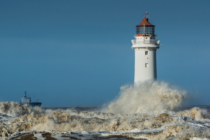
At sea and around coastal fronts, large waves and debris are expected to lash structures and shorelines, increasing the risk to any exposed buildings or people on promenades. As the system moves north eastwards and gradually weakens, conditions will improve from Friday onwards, though water logged ground and fallen branches may linger.
Storm Benjamin is set to cause widespread disruption across the UK this week. With warnings already in place and the storm expected to hit its peak on Thursday, residents are advised to remain alert, check local updates and avoid unnecessary travel during the worst of the conditions.
© Copyright IBTimes 2025. All rights reserved.


