

Trump Map Shows Parts of Canada, Greenland and Mexico Under US Flag as New Mexico Officials Reject 'New America'
US President Donald Trump's map post raises questions about territorial imagery and state renaming
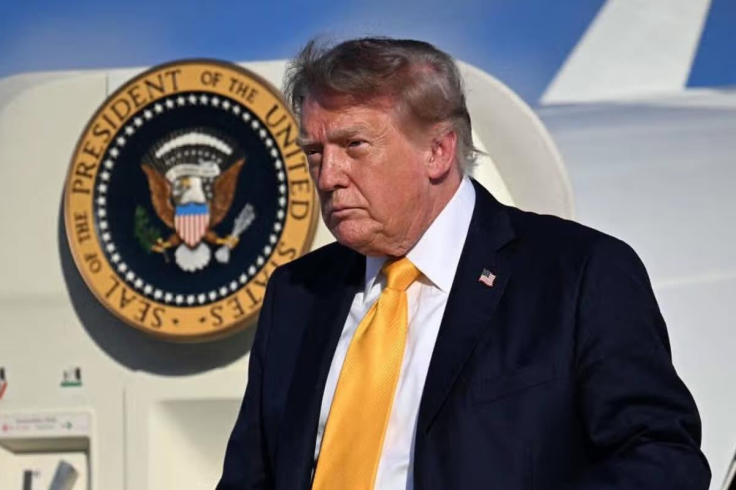
US President Donald Trump has shared a North America map on Truth Social that appears to place parts of Canada, Greenland, Mexico and Cuba under the US flag, as New Mexico officials continue to reject his recent 'New America' imagery. The map, posted on Monday, is the latest in a series of altered maps and place names used in his political messaging.
The post followed a separate image in which New Mexico appeared to be renamed 'New America', with the word Mexico crossed out and replaced by America.
The White House has not announced any formal effort to change the state's name, and senior New Mexico officials publicly rejected the idea.
Trump Map Follows New Mexico Renaming Post
The North America image shows the US flag covering the United States and extending over large parts of Canada, Greenland and Mexico. US-style imagery also appears across other areas in the region.
Trump did not provide an explanation alongside the post, leaving the intended meaning of the graphic unstated.
The image was one of several similar graphics shared after the New Mexico post drew criticism from elected officials in the state.
New Mexico Governor Michelle Lujan Grisham wrote on X that the state's name 'isn't up for debate', saying the White House was wasting time 'coloring on maps' while Americans faced rising living costs.
Senator Martin Heinrich also responded on X, writing, 'Three things I will always call by their actual names... The Gulf of Mexico, Lake Ontario, New Mexico.' Representative Melanie Stansbury offered a shorter rejection, saying, 'We're New Mexicans. Period.'
Representative Gabe Vasquez likewise said Trump could not 'erase New Mexico', its history or its culture. None of the statements cited in the source indicated that a formal renaming process for the state had begun, and the White House had not announced one.
Trump Map Fits Broader Geographic Messaging
Trump has repeatedly used maps, renaming proposals and territorial references in his public messaging. In January 2025, he ordered the US government to refer to the Gulf of Mexico as the 'Gulf of America'.
On 27 August 2026, Trump signed an executive order directing federal agencies to use 'Lake America' for Lake Ontario, a change that applies to US federal usage and does not alter Canadian or international naming.
The move came amid deteriorating relations with Canada and followed earlier remarks in which Trump floated the idea of Canada becoming the 51st US state.
Trump has also repeatedly called for US control of Greenland, a self-governing territory within the Kingdom of Denmark, arguing that the island is important to US national security.
His demands have been rejected by Danish and Greenlandic officials and have contributed to diplomatic tensions.
Mexico also appears within the latest map, although the source material does not describe any new formal US policy towards Mexican territory linked to the image.
The post itself contained no accompanying explanation of what the graphic was intended to signify or whether it reflected any new policy position.
Cuba also appears among the territories covered by US imagery in the map, but Trump gave no indication that the graphic reflected any change in US policy towards the country. Separately, Washington imposed additional Cuba-related sanctions on 3 September.
The images add to Trump's series of geographic posts and official federal renaming actions. New Mexico officials have rejected the 'New America' label, and neither Trump nor the White House has announced a formal process to change the state's name.
© Copyright IBTimes 2026. All rights reserved.