

UK weather forecast: Snow and ice warnings issued as temperatures drop 5C below average

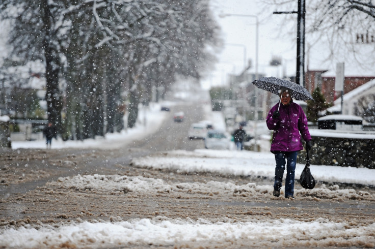
Forecasters have warned that the UK is likely to see a week of unsettled and cold weather, with low pressure systems and winds dominating. Snow and ice warnings have also been issued in Scotland on 25 and 26 April as temperatures are expected to drop below average across the UK.
While the average maximum temperature for this time of year in London is around 15C, temperatures in the capital throughout the week are expected to fall to a maximum 10-11C. Parts of northern Scotland will see maximum temperatures of 7C by the middle of the week, roughly 3C below the average.
A chief forecaster for the Met Office said: "Northerly gales will bring unusually cold air for late April across the UK on Monday and Tuesday. Northern Scotland will bear the brunt of the wintry showers, with some snow accumulations, mainly by night and over higher ground."
Forecasters have said that sleet, snow and hail can be expected during the day early in the week, however, it will remain "temporary and slushy", with snow showers only settling more readily on 25 April evening. Up to 10cm of snow could accumulate on roads above 300m, with as much as 3cm of snow accumulating at lower levels.
While northern Scotland is expected to see the worst of the weather, forecasters have said that areas across the UK could also wake up to a dusting of snow on 26 April morning. Much of the eastern coast of the UK is expected to see a dusting in places, as well as up to 2cm of snow on higher ground.
Although the Arctic blast and snow warnings might come as a surprise to many, the Met Office has said that snow in April is not unusual. According to weather statistics, the UK sees 2.3 days of snow or sleet fall in the month of April on average.
A spokesperson for the Met Office said: "Please be aware of the risk of some difficult and unseasonal road conditions, and the possibility of some low impact travel disruption. Accumulations, and the risk of ice on roads, will be very variable due to the showery nature of the precipitation, but may give some localised travel impacts overnight and early on Tuesday."
© Copyright IBTimes 2025. All rights reserved.
- MOST READ


