

Is UK's 600 Mile Rainstorm Weather Forecast Real? Here's The Truth According To The Met
The Met Office has clarified that reports of a massive rainstorm sweeping the UK in late August are too early to confirm.
The Met Office has responded to claims of a 600-mile rainstorm hitting UK in late August, saying it's unlikely to have had a stable weather forecast this early on. A storm warning has circulated in UK media, but the Met Office says the reality is less certain and far more measured. What does that mean?
Reports of a massive rainstorm sweeping across the UK at the end of August have spread widely in recent days. The Daily Express cited data from WXCharts, claiming that a 403-mile-long band of rain would hit major cities including Belfast, Glasgow, Manchester, Birmingham, London, Cardiff and Bristol on 28 August.
However, the Met Office has responded by calling the reports premature and lacking accuracy, especially given how far away the date still is.
What The Met Office Actually Says
According to the Met Office, accurate short-term forecasts are typically limited to a window of a few days. Forecasting more than 10 days in advance is highly uncertain and relies on broader trends rather than specific outcomes. A spokesperson confirmed that current data does not support a firm prediction of a 600-mile storm hitting on 28 August.
Instead, their long-range forecast suggests a gradual shift in weather as Atlantic frontal systems begin to move in from the west later in the month. From 22 August to 31 August, they expect fine and dry weather to slowly give way to more unsettled conditions.
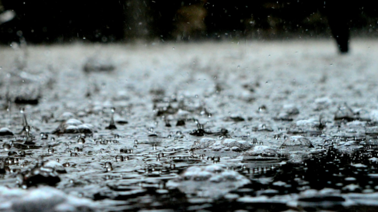
Wet And Windy Weather Still Possible
Though the precise storm event mentioned in the reports may not be confirmed, the Met Office has not ruled out unsettled weather entirely. Their forecast highlights the possibility of wetter and windier conditions developing across parts of the UK during the final week of August. This risk is particularly focused on the north and west.
The shift is partly attributed to potential changes in atmospheric conditions in the North Atlantic, including the development of a deep low-pressure system. This is influenced by Hurricane Erin, which is currently moving near the US east coast.
Current Weather Remains Dry And Warm
While attention has shifted to late-August storms, the immediate outlook remains stable. The Met Office reported temperatures of up to 27.7°C in Somerset on Sunday, with similar highs recorded in West Sussex and Inverness. Highs of 27°C are expected on Monday and Tuesday, followed by a slight drop to 24°C midweek.
Heat health alerts issued by the UK Health Security Agency (UKHSA) remain in place until 6pm on Monday, 18 August, covering seven English regions including London, the South East, and the East Midlands.
How Accurate Are These Forecasts?
The Met Office says that advancements in forecasting technology have significantly improved accuracy. Today, its four-day outlook is as reliable as its one-day forecast was three decades ago. In the past year, 92% of its three-hour temperature predictions (between three to seven days in advance) were within ±2°C.
However, forecasters stress that weather remains a chaotic system, where small changes in atmospheric conditions can result in major differences in outcome. Long-range projections, therefore, offer general trends rather than specific daily forecasts.
What To Expect For Late August
While there is a small chance of widespread wind and rain, there is no confirmed forecast of a 600-mile storm event. The end of August is likely to bring changeable conditions, with drier weather early in the period giving way to Atlantic systems.
Travellers and event planners are advised to monitor updates from the Met Office closer to the date for more accurate, short-term information. The forecast will be refined as new data becomes available.
© Copyright IBTimes 2025. All rights reserved.
- MOST POPULAR IN National


