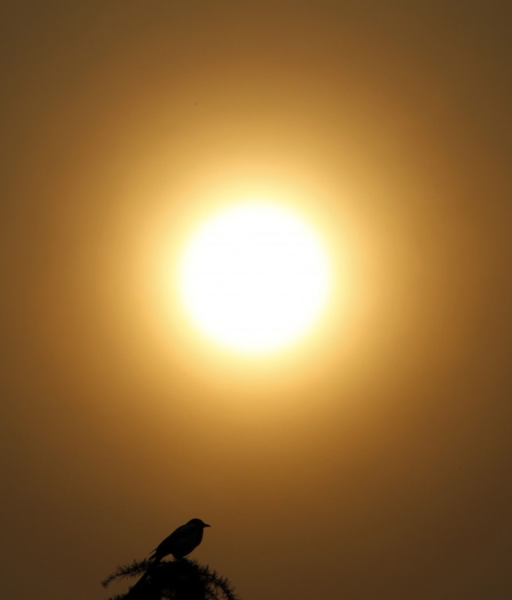
UK heat wave 2011: The met office warns against rising temperatures over the week-end
The predicted heat wave will come after days of unsettled conditions, and today, more rain spread across the country from the west, delivering more wet conditions for the Glastonbury festival and Wimbledon.
So far this month, some areas have had well above average rainfall for June, with the south-west receiving 130% of the normal level and the south-east having 118%.
Even central and eastern England, the areas worst hit by months of dry weather, have had 75% and 83% respectively of the month's average rainfall so far in June.
However, the Environment Agency warned that after months of little rain, the unsettled weather does not mean the drought in parts of eastern England, or the risk of it elsewhere, is over. Lincolnshire, Cambridgeshire, parts of Bedfordshire and Northamptonshire and western Norfolk remain in a state of drought, the agency said.
Also, many are still a number below normal levels for this time of year, including the Dove and the Derwent in central England, Ely Ouse in East Anglia, Malmesbury Avon in the south-west and the Kennet and Coln in the Thames Valley.
There has been some relief for farmers in Kent, with the agency putting on hold notices issued to land managers in the Walland and Romney marshes to stop abstracting water from 20 June.
Trevor Bishop, the head of water resources at the agency, said: "The wetter weather has helped to lessen impacts on the environment this week. However, after months of little rain, the recent unsettled weather does not mean the drought or risk of drought is over. Without further sustained rainfall, river flows will quickly drop again and our teams remain on alert to respond to the environmental impacts of drought."
Following the announce of the rise of temperature over the week-end, Mr Bishop urged people to continue to use water wisely.
The Met Office said the temperatures forecast for the coming days will peak across East Anglia, the east Midlands and south-east England on Monday, with highs of 32C (90F) possible.
The head of health forecasting at the Met Office, Patrick Sachon, said: "There is the possibility of daytime and night-time temperatures reaching trigger thresholds. These temperatures, together with high humidity, pose a risk to vulnerable people, such as those with underlying health problems."
The chief forecaster at the Met Office, Andy Page, said: "There is a 60% chance of some places in East Anglia, the east Midlands and south-east England reaching 30C on Sunday and Monday. However, it is important to note that not all places will see the hot weather. Cooler weather is expected to spread across all parts of the UK by the middle of next week."
© Copyright IBTimes 2025. All rights reserved.
- Recommended For You