PAGASA Warns Signal No. 5: Potential 'Super Typhoon' Uwan to Bring Catastrophic Destruction
'Super Typhoon' Uwan may reach TCWS No. 5. PAGASA warns of 'catastrophic destruction' and storm surge risk in Luzon.

The Philippines is bracing for a potential disaster as the state weather bureau, the Philippine Atmospheric, Geophysical and Astronomical Services Administration (PAGASA), has warned that a developing storm is on track to become a 'super typhoon' and could prompt the raising of the highest alert, Tropical Cyclone Wind Signal (TCWS) No. 5. This warning signals an 'extreme threat to life and property' across parts of Luzon.
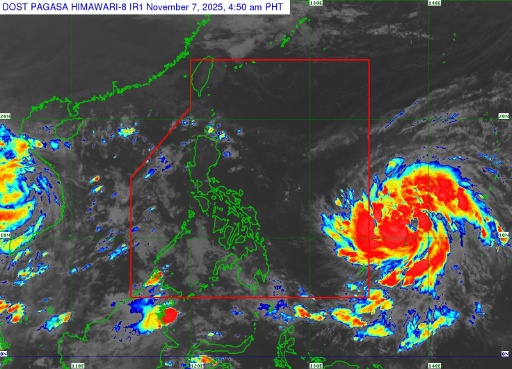
The developing system, currently Tropical Storm Fung-Wong, was last spotted outside the Philippine Area of Responsibility (PAR), located 1,550 to 1,690 kilometres east of Northeastern Mindanao, as of Thursday evening. It is moving northwestward at 10 to 20 kilometres per hour (km/h).
Fung-Wong is forecast to enter the PAR late Friday evening (7 November) or early Saturday morning (8 November), at which point it will be given the local name 'Uwan,' becoming the country's second tropical cyclone this November. PAGASA warned that it is expected to intensify rapidly, possibly reaching typhoon category by Friday and super typhoon strength by Saturday.
PAGASA Issues Wind Signal No. 5 Catastrophic Damage Warning
The most severe warning pertains to the storm's potential intensity. PAGASA has stated: 'The highest possible Wind Signal for the current forecast scenario is Wind Signal No. 5.'
A TCWS No. 5 is issued when extreme typhoon-force winds of 185 km/h or greater are prevailing or expected. This level of wind threat brings catastrophic consequences:
- Widespread destruction of makeshift and poorly-constructed houses.
- Well-constructed houses may suffer substantial roof and wall failure or damage.
- Most industrial buildings will be destroyed.
- Electricity, potable water supply, and telecommunications are expected to be unavailable for prolonged periods.
- Vast majority of trees will be broken, defoliated, or uprooted.
The weather bureau is expected to begin hoisting wind signals over the eastern portion of Luzon and parts of Samar provinces as early as Friday evening to Saturday morning. Weather conditions are forecast to start deteriorating by Sunday, 9 November.
'Super Typhoon' Uwan Threatens Luzon Landfall and Storm Surge
The super typhoon is currently projected to make landfall on Monday, 10 November, over Northern or Central Luzon, possibly at or near its peak lifetime intensity. The uncertainty in the exact track remains high, but the threat is focussed on the country's main island.
PAGASA also issued a stark warning regarding coastal hazards: 'There is also a potential for high storm surge risk and related coastal flooding, especially in Northern Luzon and the east coast of Central Luzon. Storm surge warnings may be issued as early as Saturday.'
A storm surge is an abnormal rise of water above the predicted astronomical tide, driven by the intense winds and low pressure of a strong cyclone. Such an event poses an extreme threat to low-lying coastal communities.
The potentially life-threatening stormy conditions may persist over Northern Luzon and portions of Central Luzon through Tuesday, 11 November. The public is strongly advised to continuously monitor official updates, prepare emergency supplies, and heed all evacuation advisories ahead of this severe threat.
© Copyright IBTimes 2025. All rights reserved.
- MOST POPULAR IN World