

'This Is an Unprecedented Situation' as Record-Early Polar Vortex Reversal Raises UK Snow Questions
Weather experts say the disruption could affect the jet stream, but any impact on Britain may take weeks and remains highly uncertain
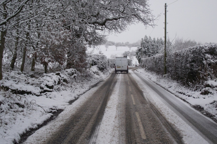
Weather model analyses indicated a record-early reversal of polar vortex winds above the Arctic on Wednesday, 11 November, raising questions about whether the UK could see significant snowfall this winter. Forecasters caution, however, that the reversal does not mean snow is on the way.
The polar vortex is a ring of powerful winds roughly 30 kilometres above the North Pole. These winds normally blow from west to east, but can weaken or reverse during sudden stratospheric warming (SSW), when temperatures in the stratosphere rise and the circulation is disrupted.
'This is an unprecedented situation,' AccuWeather long-range forecaster Paul Pastelok told Newsweek on Thursday, 12 November. He said disturbances of this magnitude were rarely seen in November.
Polar Vortex Reversal Breaks November Records
Netweather meteorologist Nick Finnis reported on 12 November that weather model analyses indicated easterly winds at roughly 30 kilometres altitude a day earlier. His assessment described the reversal as the earliest of its kind in the satellite record.
The previous earliest comparable reversals occurred on 28 November 1968 and 2025. The 2025 event was marginal, however, and its classification can vary depending on the atmospheric dataset used.
The distinction matters because identifying a reversal, and deciding whether it qualifies as a major SSW, depends on the criteria and data being applied.
Professor Andrew Charlton-Perez, a meteorologist at the University of Reading, had already warned about the unusual timing. In comments published on 6 November, before the reported reversal, he said: 'We've never seen anything like this before.'
He explained that reliable satellite observations extend back to 1979, while earlier records are less complete. Such disturbances usually occur later in winter, after the stratospheric vortex has had more time to develop. The 1968 comparison therefore comes from records predating the satellite era, rather than from the same kind of observations available today.
There is also an important distinction between model assessments and the Met Office's published position.
On 11 November, the agency described warming and weakened winds, with a brief reversal possible. It had not definitively classified the disruption as a major SSW, and suggested the vortex could recover towards its usual state as December approaches.
What the Reversal Could Mean for UK Snow
When the polar vortex weakens, the jet stream can become more disrupted, sometimes allowing colder air to reach Britain.
The 2018 Beast from the East followed a major SSW, but that sequence does not mean the same outcome can be expected this winter. A stratospheric change may take weeks to affect conditions nearer the surface, and its effects are not a direct forecast of snowfall.
Charlton-Perez said immediate snowfall was unlikely because land, oceans and the atmosphere still retain warmth from summer. He also raised a concern about prolonged dry conditions, which could hinder reservoir recovery in parts of the UK already affected by drought.
The UK's current cold spell is separate from the stratospheric disturbance. In an explanation published on 11 November, the Met Office attributed the change to high pressure drawing Arctic air southwards, producing clearer skies and widespread frost. Any influence from the polar vortex could take weeks to reach the surface.
The Met Office's forecast, updated on 13 November, expected largely dry, cold weather initially, followed by unsettled conditions over the weekend. Its long-range outlook, updated the previous day, anticipated wetter and windier spells later in November.
An exceptionally strong El Niño in the tropical Pacific adds uncertainty. Although it can influence the vortex and UK winter conditions, Charlton-Perez said further analysis was needed to determine whether it contributed to this disruption.
The long-range outlook allows for colder conditions spreading southwards during December. Confidence remains low, however, and the Met Office has not forecast a nationwide snow event. The reversal has prompted questions about winter prospects, but the available forecasts do not establish that significant UK snowfall will follow.
© Copyright IBTimes 2026. All rights reserved.