

UK Snow Warning Issued as Rare Arctic Polar Vortex Disruption Raises Fears of Colder Winter
The Met Office attributes the cold snap to shifting high-pressure systems drawing Arctic air south
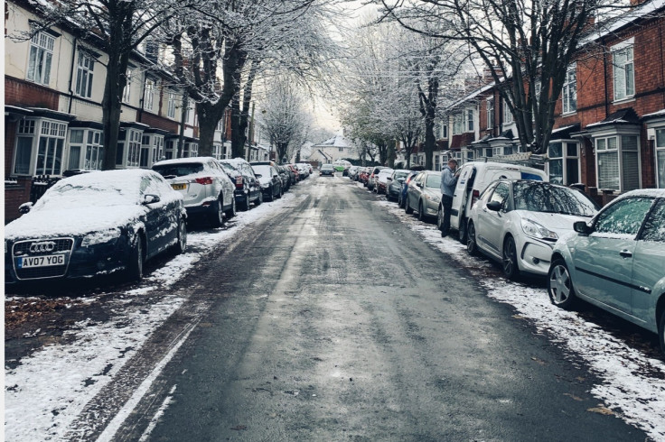
A yellow weather warning for snow is in force across parts of the United Kingdom, with forecasters warning of travel disruption and accumulations of up to 15cm on higher ground. Rain moving north-eastwards is expected to meet colder air across northern England and southern Scotland, turning to snow.
The Met Office warning covers areas from the West Midlands to south-west Scotland and remains in place until 11am on Tuesday, 17 November. Yorkshire, Derbyshire, Northumberland, Greater Manchester, Cumbria and Lancashire are among the areas affected. Roads and rail services could face delays, with a small risk of power cuts and mobile phone disruption.
The cold conditions have coincided with changes high above the Arctic, where winds around the polar vortex have weakened. However, the Met Office says the current cold spell is not being caused by this disruption, and its effect on the UK's winter weather remains uncertain.
Where Snow and Travel Disruption Are Expected
The greatest chance of settling snow is on ground above 200 metres, the Met Office said. Between 1cm and 5cm could accumulate in some areas, while 5cm to 15cm is possible above 300 to 400 metres. Snow below 100 metres is likely to be temporary and melt quickly, with rain remaining the main weather in lower-lying areas.
Strong, gusty winds could make conditions difficult on exposed routes. The Met Office warned that roads and railways may be affected, leading to longer journeys by car, bus and train. Snow is expected to ease during Tuesday morning.
The warning follows the coldest night of the season so far, with temperatures falling to minus 7.7C at Tulloch Bridge in the Scottish Highlands. The UK Health Security Agency has also issued a yellow cold-health alert for the North West, North East and Yorkshire and the Humber until 9am on Thursday, 19 November. It warned that older people and those with existing health conditions could face increased health risks.
What Is Happening to the Polar Vortex?
The polar vortex is a large circulation of winds in the stratosphere, about 30 kilometres above the Earth's surface. In a briefing published on 11 November, the Met Office said stratospheric warming had weakened winds around the vortex, with a brief reversal possible.
Such changes do not automatically affect weather at ground level. Any influence on the UK's weather can take several weeks to develop and is not guaranteed. The Met Office said forecasts suggested the disruption could be short-lived, with the vortex expected to move closer to its average state as December approaches.
Could the Disruption Bring a Colder Winter?
The Met Office has not forecast that the polar vortex changes will bring a colder winter to the UK. It said the current cold spell is being driven by developments in the lower atmosphere, where high pressure is changing wind direction and allowing colder Arctic air to move south.
The agency will continue to monitor the stratospheric conditions, but their possible effect on December weather remains uncertain. For now, the snow warning and cold-health alert reflect immediate conditions, not a confirmed forecast of prolonged severe winter weather.
© Copyright IBTimes 2026. All rights reserved.