Dense Fog Advisory: Dangerous Morning Refreeze and Fog Precede Major 64°C Warm-Up
A week that starts in fog and ice ends in weather whiplash — and Ohio drivers will feel every swing.


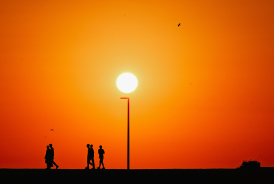
A windscreen can tell you more about winter than any calendar. One minute it's only mist; the next, you're peering through a milky blur at brake lights that seem to materialise out of nowhere. Across Ohio, Monday began like that — dense fog draped over motorways and side streets, swallowing visibility and turning an ordinary commute into something closer to guesswork.
Forecasters have been blunt about the immediate risk. A Dense Fog Advisory is in place until 11 a.m. for much of the state, with the National Weather Service warning that visibility may drop sharply and urging drivers to take extra care. It's the kind of morning where you can do everything 'right' and still end up surprised by someone else's late lane change.
Then there's the other hazard: what you can't see beneath your feet.
Overnight rain has washed away some of the salt that had been clinging to roads and pavements, and with temperatures hovering around freezing early on, there's a renewed threat of refreezing and black ice on untreated surfaces. Bridges and overpasses, always first to freeze, are the obvious culprits — but car parks, shaded pavements and the unglamorous corners of everyday life can be just as treacherous.
Still, this is not a week that's content to sit in the grey. It's preparing to lurch.
Dense Fog Advisory And The Foggy Start To A Mild Monday
The forecast for Columbus is a study in cautious optimism: fog and slick patches early, then a gradual lift by midday as conditions improve. By the afternoon, skies are expected to turn partly cloudy, and temperatures should climb to around 52°F (11°C).
That's mild for mid-February in Ohio, and it comes with a subtle psychological shift. People relax when the air softens; they drive a bit faster, assume the roads will behave, take for granted that winter has stopped trying to hurt them. But Monday night keeps the door open for more mischief, with patchy fog possible again and lows dropping into the mid-30s. In other words: don't get cocky.
Tuesday follows a similar rhythm — early fog giving way to mostly cloudy skies and another nudge upwards in the afternoon, with highs around 56°F (13°C). Light southerly winds are expected Monday and Tuesday, which matters less for your hair than for what it signals: warmer air is on the move.
If you're waiting for the 'real' change, though, you'll want to look at midweek.
Dense Fog Advisory And That Sudden 64°F Lurch Towards Spring
Wednesday is shaping up to be the week's headline act, with temperatures forecast to surge to around 64°F (18°C) — a warm-up dramatic enough to make winter feel briefly theoretical. It won't be a clean spring day, mind you. Skies are expected to stay mostly cloudy, with a few showers possible and even the chance of a rumble of thunder.
Wind is part of the story too. Forecasters expect a notably breezy day, with southwest winds around 15 to 20 mph in the Columbus area. Warm air in February often arrives with attitude, and that bluster can be as much of a nuisance as the rain — rattling bins, pushing cars on exposed roads, making the outdoors feel less like a gift and more like a dare.
Thursday stays relatively mild, hovering near 62°F (17°C), with mostly cloudy conditions and scattered showers. But the calmer mood doesn't last. Heavier rain is expected to arrive later Thursday into early Friday, which is where the week's 'pleasant' interlude starts to look a bit like a trap.
Friday turns cooler again — around 58°F (14°C) — and keeps the unsettled theme going, with cloud cover and strong southwest winds that could gust beyond 25 mph. And then, because Ohio weather rarely resists a dramatic ending, the weekend slides back towards colder air: highs around 46°F (8°C) on Saturday and 39°F (4°C) on Sunday, with rain showers and even a chance of a light wintry mix by the end of the weekend.
So yes, there's a 'warm-up' coming. But what cannot be ignored is the whiplash. This isn't spring arriving; it's winter briefly losing focus — and then snapping back.
© Copyright IBTimes 2025. All rights reserved.
- Recommended For You